
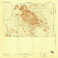
1918 Map of Dog Mountains
USGS Topo · Published 1918About this map
The Alamo Hueco Mountains and Dog Mountains dominate this 1918 borderland survey, capturing a remote landscape of the American Southwest defined by its critical water sources and ranching outposts. During this era, life revolved around named watering points such as Haskins Wells, White Mills Wells, and Petersons Well, which were essential for sustaining livestock and travel.
Find a feature on this map
27 named features on this map. Tap any name to fly to it.
Don’t see what you’re looking for? This feature index may not catch every label — zoom into the map to look around manually.
Map Details
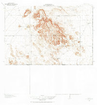
Editions of this 1918 Dog Mountains Map
3 editions found
Other maps of this area

1917 · Antelope Wells
USGS Topo · 1:62,500

1918 · Big Hatchet Peak
USGS Topo · 1:62,500

1918 · Walnut Wells
USGS Topo · 1:62,500

1919 · Antelope Wells
USGS Topo · 1:62,500

1923 · Walnut Wells
USGS Topo · 1:62,500

1955 · Douglas
USGS Topo · 1:250,000

1959 · Douglas
USGS Topo · 1:250,000

1961 · Douglas
USGS Topo · 1:250,000

1964 · Douglas
USGS Topo · 1:250,000
1982 · Horse Mountain
USGS Topo · 1:24,000