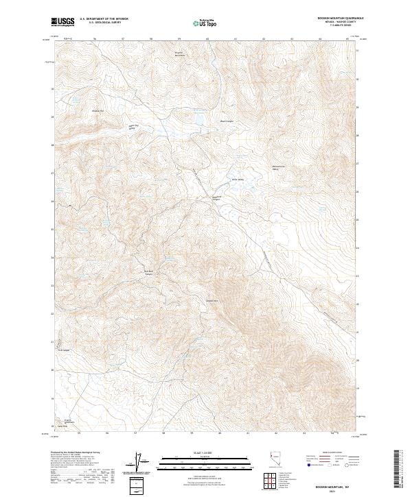
2021 Map of Dogskin Mountain
USGS Topo · Published 2021About this map
Dogskin Mtn dominates this portion of the northern Nevada landscape, where high-desert canyons and basins define the topography of the Virginia Mountains and the French Mountains. The map reveals a land fundamentally shaped by the scarcity and presence of water, with dozens of named water sources like Whisky Spring, Chewing Gum Spring, and Hidden Horse Spring scattered throughout the arid terrain. These points, along with the Milk Ranch Reservoir, represent critical infrastructure for ranching and wildlife in the Great Basin. Human passage is largely limited to the Winnemucca Ranch Rd, which winds through the Winnemucca Valley, connecting the high valleys and providing access to remote locations like Little Valley and McKissick Canyon.
Find a feature on this map
38 named features on this map. Tap any name to fly to it.
Don’t see what you’re looking for? This feature index may not catch every label — zoom into the map to look around manually.
Map Details
Editions of this 2021 Dogskin Mountain Map
This is the sole edition of this map. No revisions or reprints were ever made.
Other maps of this area

1886 · Granite Range
USGS Topo · 1:250,000

1891 · Reno
USGS Topo · 1:125,000

1893 · Reno
USGS Topo · 1:125,000

1894 · Granite Range
USGS Topo · 1:250,000

1955 · Lovelock
USGS Topo · 1:250,000

1957 · Sutcliffe
USGS Topo · 1:62,500

1957 · Dogskin Mountain
USGS Topo · 1:62,500

1957 · Reno
USGS Topo · 1:250,000

1959 · Lovelock
USGS Topo · 1:250,000

1959 · Reno
USGS Topo · 1:250,000