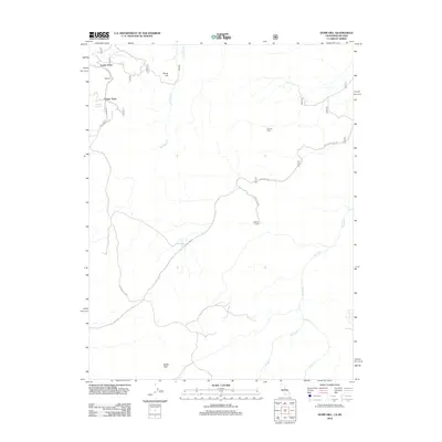
2012 Map of Dome Hill
USGS Topo · Published 2012About this map
Lower Town and Upper Town sit at the northern edge of this high-altitude landscape, connected by the winding Masonic Rd within the storied mining district of Masonic. This 2012 survey illustrates the rugged geography of the Bodie Hills, where isolated outposts like Chinese Camp and Halfway Camp are linked by a network of unimproved roads and forest tracks. The terrain is defined by dry washes and vital water sources such as Burrit Hill Spring and Masonic Spring, which historically supported ranching and prospecting in this high desert environment. Strategic corridors like Cow Camp Rd and Boundary Rd traverse the open space between Dome Hill and the drainage of Rough Cr, showing the persistent but sparse human footprint in this remote corner of Mono County.
Find a feature on this map
17 named features on this map. Tap any name to fly to it.
Don’t see what you’re looking for? This feature index may not catch every label — zoom into the map to look around manually.
Map Details
Editions of this 2012 Dome Hill Map
This is the sole edition of this map. No revisions or reprints were ever made.
Other maps of this area
1909 · Hawthorne
USGS Topo · 1:250,000
1909 · Bridgeport
USGS Topo · 1:125,000
1911 · Bridgeport
USGS Topo · 1:125,000
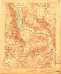
1911 · Hawthorne
USGS Topo · 1:250,000
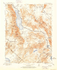
1915 · Hawthorne
USGS Topo · 1:250,000
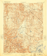
1920 · Bridgeport
USGS Topo · 1:125,000
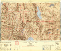
1948 · Walker Lake
USGS Topo · 1:250,000
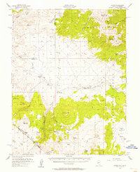
1956 · Aurora
USGS Topo · 1:62,500
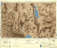
1957 · Walker Lake
USGS Topo · 1:250,000
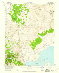
1958 · Bodie
USGS Topo · 1:62,500