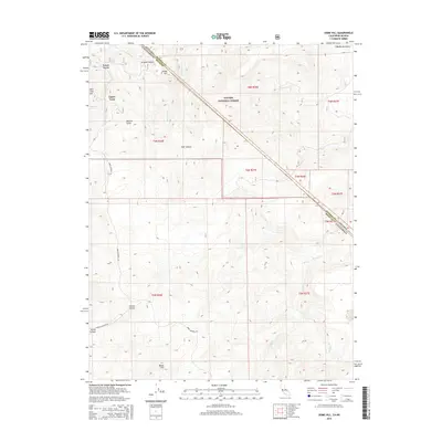
2015 Map of Dome Hill
USGS Topo · Published 2015About this map
Upper Town and Lower Town sit at the western edge of this Mono County landscape, markers of the region's enduring mining and settlement history. The terrain is defined by the significant heights of the Bodie Hills and Bodie Mountains, cut through by deep drainages like Aurora Canyon and Sonoma Canyon. The Toiyabe National Forest covers much of the central ground, where the state line between California and Nevada runs diagonally across the topography. Vital water sources are scattered throughout this arid environment, including Masonic Spring and Burnt Hill Spring, which feed ephemeral waterways such as Rough Cr and Red Wash Cr. This survey documents the complex network of mountain roads like Bodie Masonic Rd, which historically connected these high-altitude camps and grazing lands.
Find a feature on this map
24 named features on this map. Tap any name to fly to it.
Don’t see what you’re looking for? This feature index may not catch every label — zoom into the map to look around manually.
Map Details
Editions of this 2015 Dome Hill Map
This is the sole edition of this map. No revisions or reprints were ever made.
Other maps of this area

1909 · Hawthorne
USGS Topo · 1:250,000

1909 · Bridgeport
USGS Topo · 1:125,000

1911 · Bridgeport
USGS Topo · 1:125,000

1911 · Hawthorne
USGS Topo · 1:250,000

1915 · Hawthorne
USGS Topo · 1:250,000

1920 · Bridgeport
USGS Topo · 1:125,000

1948 · Walker Lake
USGS Topo · 1:250,000

1956 · Aurora
USGS Topo · 1:62,500

1957 · Walker Lake
USGS Topo · 1:250,000

1958 · Bodie
USGS Topo · 1:62,500