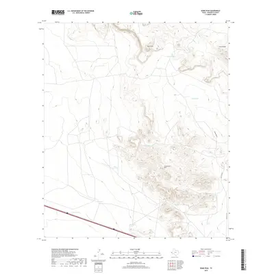
2019 Map of Dome Peak
USGS Topo · Published 2019About this map
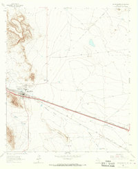
Dome Peak and the high ridges of the Sierra Diablo rise above the high desert floor of Hudspeth County in this 2019 topography. The landscape is defined by the concentrated formations of the Streeruwitz Hills, where intricate contour lines reveal a complex network of ridges and drainages such as Camel Draw. Water management is the primary evidence of human modification in this arid environment, represented by a series of catchment basins and livestock tanks named for local families and infrastructure.
Find a feature on this map
14 named features on this map. Tap any name to fly to it.
Don’t see what you’re looking for? This feature index may not catch every label — zoom into the map to look around manually.
Map Details
Editions of this 2019 Dome Peak Map
This is the sole edition of this map. No revisions or reprints were ever made.
Other maps of this area

1895 · Sierra Blanca
USGS Topo · 1:125,000

1948 · Triple Hill
USGS Topo · 1:62,500

1954 · Van Horn
USGS Topo · 1:250,000

1958 · Van Horn
USGS Topo · 1:250,000
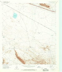
1963 · Grayton Lake
USGS Topo · 1:24,000

1964 · Devil Ridge
USGS Topo · 1:24,000
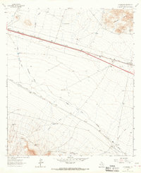
1964 · Allamoore
USGS Topo · 1:24,000

1964 · Dome Peak
USGS Topo · 1:24,000
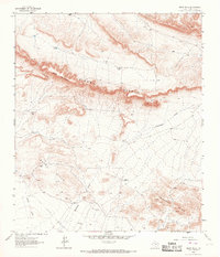
1964 · Bean Hills
USGS Topo · 1:24,000
1964 · Sierra Blanca
USGS Topo · 1:24,000