
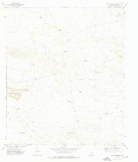
1964 Map of Dome Peak
USGS Topo · Published 1967About this map
Sierra Diablo and the Streeruwitz Hills dominate this arid landscape in West Texas, where water management defines the human footprint. In a region where reliable surface water is scarce, the map identifies numerous catchments and improvements like England Pond, South Pond, and a series of tanks including Williams Tank, Jenkins Tank, and Railroad Tank. These features reflect the vital infrastructure required for both cattle ranching and steam-era rail operations.
Find a feature on this map
20 named features on this map. Tap any name to fly to it.
Don’t see what you’re looking for? This feature index may not catch every label — zoom into the map to look around manually.
Map Details
Editions of this 1964 Dome Peak Map
This is the sole edition of this map. No revisions or reprints were ever made.
Other maps of this area

1895 · Sierra Blanca
USGS Topo · 1:125,000

1948 · Triple Hill
USGS Topo · 1:62,500

1954 · Van Horn
USGS Topo · 1:250,000

1958 · Van Horn
USGS Topo · 1:250,000
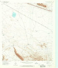
1963 · Grayton Lake
USGS Topo · 1:24,000

1964 · Devil Ridge
USGS Topo · 1:24,000
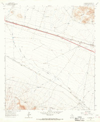
1964 · Allamoore
USGS Topo · 1:24,000
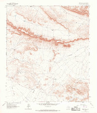
1964 · Bean Hills
USGS Topo · 1:24,000
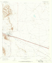
1964 · Sierra Blanca
USGS Topo · 1:24,000
1973 · Sneed Mountain
USGS Topo · 1:24,000