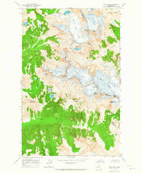
1963 Map of Dome Peak
USGS Topo · Published 1965About this map
Dome Peak and the surrounding high alpine terrain of the Cascade Range define this 1963 field-checked survey. The landscape is dominated by massive ice fields and glaciers, including the sprawling South Cascade Glacier, Dana Glacier, and Chickamin Glacier. These frozen features are the headwaters for numerous drainage systems, such as the South Fork Cascade River and Sulphur Creek. This map captures a specific moment in glaciology, showing the extent of ice before late-century retreats, and documents the intersection of three counties—Skagit, Chelan, and Snohomish. Between the sharp summits of Spire Point and Sinister Peak, small high-altitude basins hold remote water bodies like Itswoot Lake and the White Rock Lakes. The map also delineates the high-altitude boundary between the Mt Baker National Forest and Okanogan National Forest along the serrated ridges.
Find a feature on this map
36 named features on this map. Tap any name to fly to it.
Don’t see what you’re looking for? This feature index may not catch every label — zoom into the map to look around manually.
Map Details
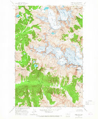
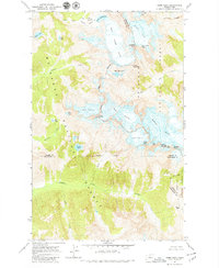
Editions of this 1963 Dome Peak Map
3 editions found
Other maps of this area

1899 · Glacier Peak
USGS Topo · 1:125,000

1901 · Glacier Peak
USGS Topo · 1:125,000

1902 · Stehekin
USGS Topo · 1:125,000

1904 · Stehekin
USGS Topo · 1:125,000

1944 · Holden
USGS Topo · 1:62,500

1949 · Holden
USGS Topo · 1:62,500

1950 · Glacier Peak
USGS Topo · 1:62,500

1955 · Concrete
USGS Topo · 1:250,000

1958 · Concrete
USGS Topo · 1:250,000

1962 · Concrete
USGS Topo · 1:250,000