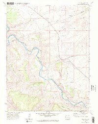
1969 Map of Dominguez
USGS Topo · Published 1972About this map
The Gunnison River carves a deep path through this canyon-cut landscape on the boundary of Mesa and Delta Counties. This 1969 field-checked survey highlights the vital transit corridor established by the Denver and Rio Grande Western railroad, which follows the river's winding course. Small riverside locations like Peeples, Broughton, and Dominguez appear as critical points along the rail line and water source. The terrain is defined by dramatic elevation changes, from the broad McCarty Bench and Leonards Basin to the prominent Dominguez Rim. Water management in this arid environment is evident through several upland features such as County Line Reservoir, Rocky Wash Reservoir, and Dominguez Rim Reservoir, while the legacy of early movement is preserved in the network of jeep trails and (pack) trails that navigate the ridges and gulches.
Find a feature on this map
30 named features on this map. Tap any name to fly to it.
Don’t see what you’re looking for? This feature index may not catch every label — zoom into the map to look around manually.
Map Details
Editions of this 1969 Dominguez Map
2 editions found
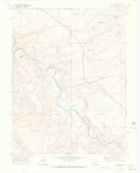
Other maps of this area

1956 · Moab
USGS Topo · 1:250,000

1959 · Moab
USGS Topo · 1:250,000

1960 · Moab
USGS Topo · 1:250,000

1962 · Moab
USGS Topo · 1:250,000

1964 · Moab
USGS Topo · 1:250,000

1965 · Moab
USGS Topo · 1:250,000
1965 · Point Creek
USGS Topo · 1:24,000
1965 · Indian Point
USGS Topo · 1:24,000
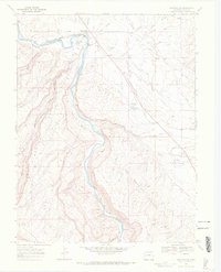
1969 · Whitewater
USGS Topo · 1:24,000
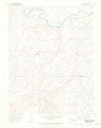
1969 · Roubideau
USGS Topo · 1:24,000