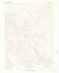
1969 Map of Dominguez
USGS Topo · Published 1972About this map
The Gunnison River carves a deep path through Delta County in this late-1960s survey, flanked by the massive Dominguez Rim and the varied terrain of Leonards Basin and Lightening Basin. The Denver and Rio Grande Western railroad tracks follow the river's winding course, linking small stations and sidings such as Peeples, Broughton, and Dominguez. This alignment reflects the critical role of the canyon floor as a corridor for transport and settlement in a landscape otherwise defined by high plateaus and deep gulches.
Find a feature on this map
27 named features on this map. Tap any name to fly to it.
Don’t see what you’re looking for? This feature index may not catch every label — zoom into the map to look around manually.
Map Details
Editions of this 1969 Dominguez Map
2 editions found
Other maps of this area

1956 · Moab
USGS Topo · 1:250,000

1959 · Moab
USGS Topo · 1:250,000

1960 · Moab
USGS Topo · 1:250,000

1962 · Moab
USGS Topo · 1:250,000

1964 · Moab
USGS Topo · 1:250,000

1965 · Moab
USGS Topo · 1:250,000
1965 · Point Creek
USGS Topo · 1:24,000
1965 · Indian Point
USGS Topo · 1:24,000
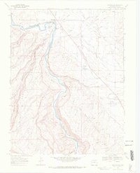
1969 · Whitewater
USGS Topo · 1:24,000
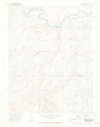
1969 · Roubideau
USGS Topo · 1:24,000