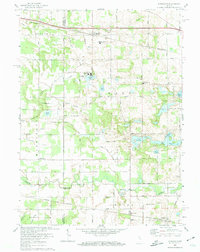
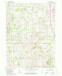
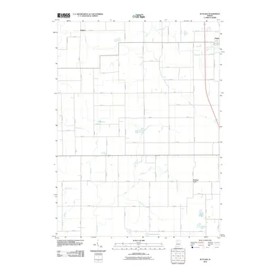
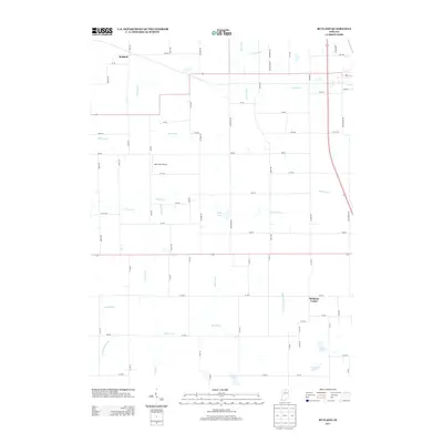
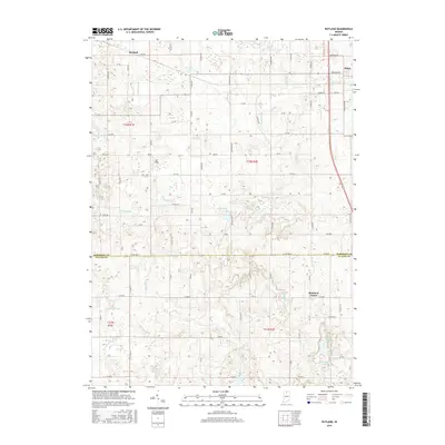
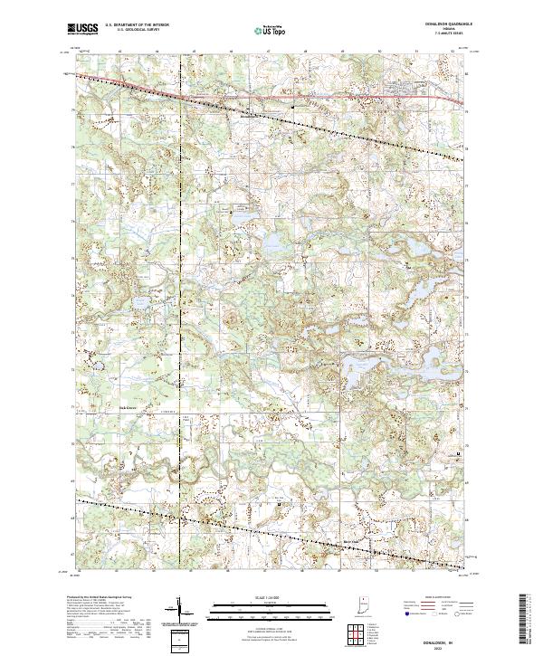
1972 Map of Donaldson
USGS Topo · Published 1974About this map
The Yellow River meanders across this rural landscape at the border of Starke and Marshall Counties, anchoring a region defined by its religious institutions and small crossroads settlements. Academic and spiritual life are prominent at Ancilla Domini College and the Divine Heart Seminary, located near the northern hamlet of Donaldson. The map documents a complex drainage system essential for the surrounding agriculture, including the Blad Ditch and Morse Ditch, which channel water through the township's low-lying areas.
Find a feature on this map
40 named features on this map. Tap any name to fly to it.
Don’t see what you’re looking for? This feature index may not catch every label — zoom into the map to look around manually.
Map Details
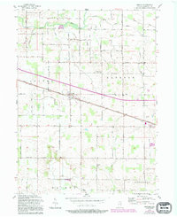
Editions of this 1972 Donaldson Map
This is the sole edition of this map. No revisions or reprints were ever made.
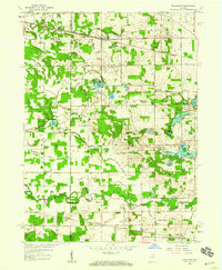
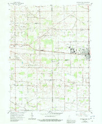
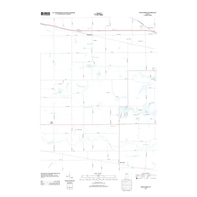
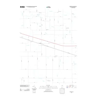
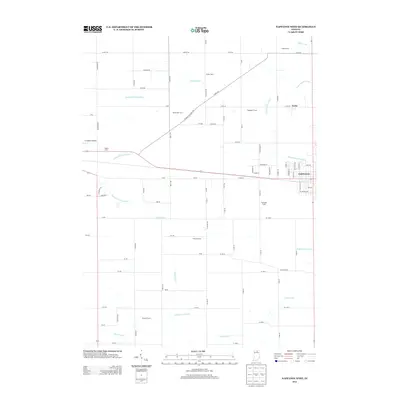
Historical Maps of Hibbard Through Time
25 maps found
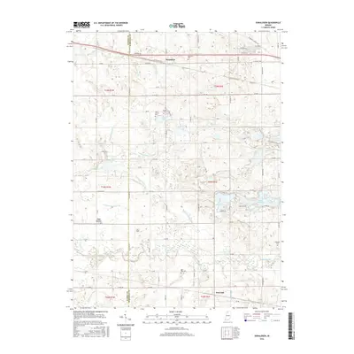
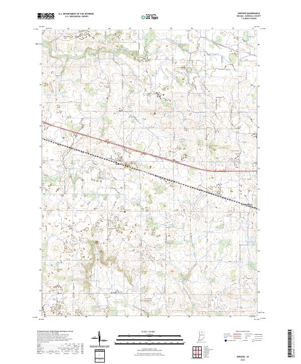
1957 Inwood
Marshall County, IN
1958 Donaldson
Marshall County, IN
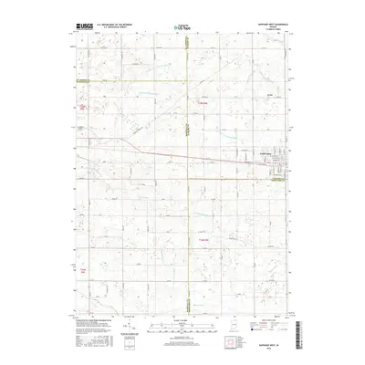
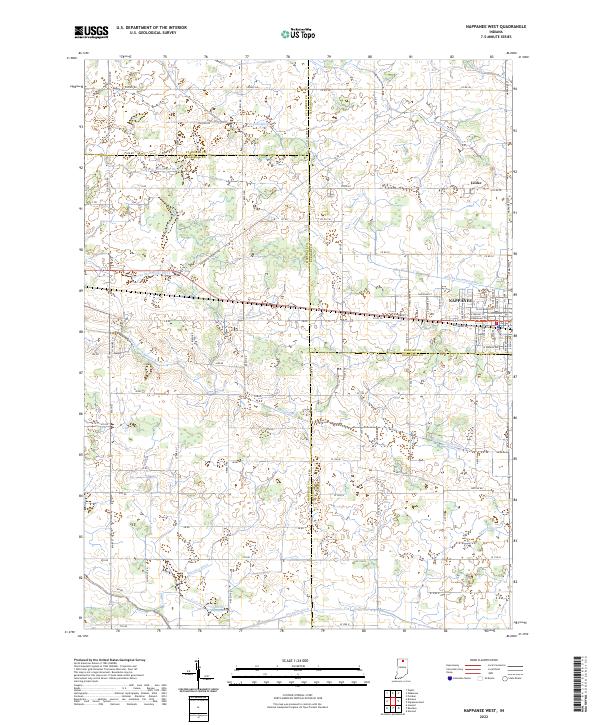
1958 Nappanee West
Marshall County, IN
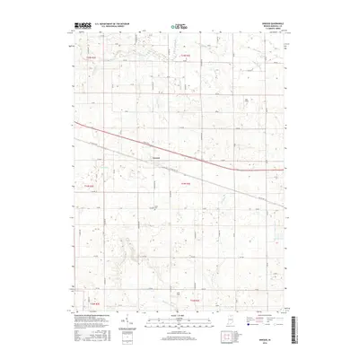
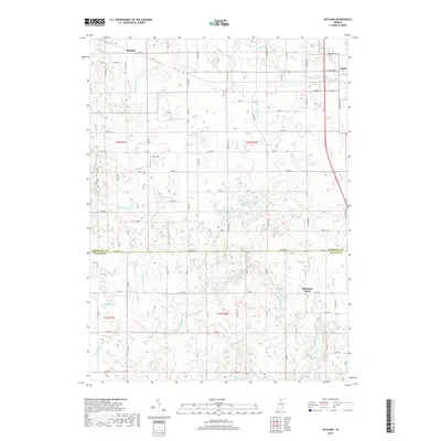
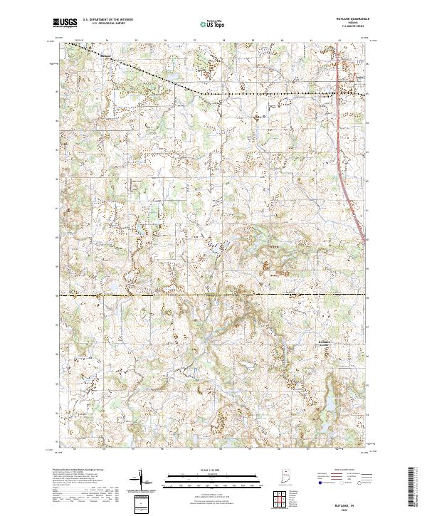
1962 Rutland
Marshall County, IN
1972 Donaldson
Marshall County, IN
2010 Donaldson
Marshall County, IN
2010 Inwood
Marshall County, IN
2010 Nappanee West
Marshall County, IN
2010 Rutland
Marshall County, IN
2013 Donaldson
Marshall County, IN
2013 Inwood
Marshall County, IN
2013 Nappanee West
Marshall County, IN
2013 Rutland
Marshall County, IN
2016 Donaldson
Marshall County, IN
2016 Inwood
Marshall County, IN
2016 Nappanee West
Marshall County, IN
2016 Rutland
Marshall County, IN
2019 Donaldson
Marshall County, IN
2019 Inwood
Marshall County, IN
2019 Nappanee West
Marshall County, IN
2019 Rutland
Marshall County, IN
2022 Donaldson
Marshall County, IN
2022 Inwood
Marshall County, IN
2022 Nappanee West
Marshall County, IN
2022 Rutland
Marshall County, IN