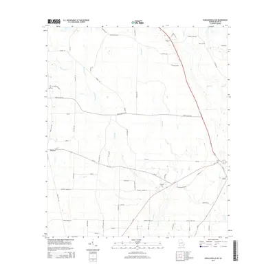
2014 Map of Donalsonville NE
USGS Topo · Published 2014About this map
Mayhaw sits at the intersection of several regional routes, serving as a focal point in a landscape defined by an intricate network of waterways including Spring Cr and Aycocks Cr. This 2014 survey reveals a rural Miller County landscape where family and community heritage are anchored by numerous burial grounds such as Flat Creek Cem, Roberts Cem, and Cratic Cem. The terrain is marked by the branching reaches of Susian Ford Cr and Cypress Cr, which influenced the placement of local thoroughfares like Flat Creek Church Rd and Griggs-Lucille Rd. The drainage patterns, including Sow Br and Kaney Head Cr, underscore the agricultural character of the region, where roads often follow the natural contours of the creeks. This map provides a detailed look at the rural infrastructure of Southwest Georgia before further modern development modified these traditional property lines and routes.
Find a feature on this map
59 named features on this map. Tap any name to fly to it.
Don’t see what you’re looking for? This feature index may not catch every label — zoom into the map to look around manually.
Map Details
Editions of this 2014 Donalsonville NE Map
This is the sole edition of this map. No revisions or reprints were ever made.
Other maps of this area

1953 · Dothan
USGS Topo · 1:250,000

1954 · Dothan
USGS Topo · 1:250,000

1955 · Dothan
USGS Topo · 1:250,000

1973 · Blakely South
USGS Topo · 1:24,000

1973 · Hentown
USGS Topo · 1:24,000

1974 · Boykin
USGS Topo · 1:24,000

1974 · Donalsonville NE
USGS Topo · 1:24,000

1974 · Damascus
USGS Topo · 1:24,000
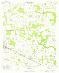
1974 · Donalsonville East
USGS Topo · 1:24,000
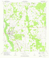
1974 · Colquitt
USGS Topo · 1:24,000