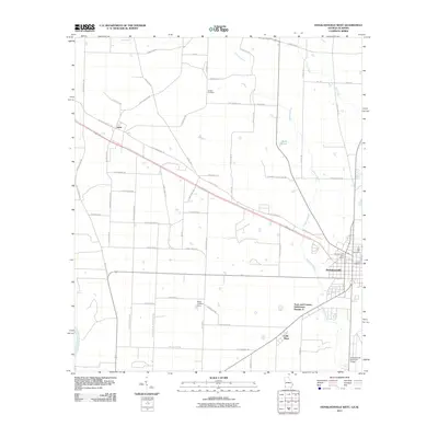
2011 Map of Donalsonville West
USGS Topo · Published 2011About this map
Donalsonville serves as the focal point for this Southwest Georgia landscape, situated just east of the Chattahoochee River corridor. The layout of the region is defined by a lattice of rural roads often bearing the names of local families, such as Harrell Moye Rd, Reuben Brookins Rd, and Yank Roberts Rd, providing a detailed record for genealogical research. The western portion of the map includes the community of Jakin, while the southern reaches feature the settlement of Little Hope and the Town and Country Subdivision Number 2. Water management is evident through the winding path of Fishpond Drain and the presence of Byrd Pond. For those tracing local history, the map precisely locates Live Oak Cemetery and Hodges Cemetery, alongside infrastructure like the Donalsonville Municipal Airport and the smaller Hicks Landing Strip.
Find a feature on this map
63 named features on this map. Tap any name to fly to it.
Don’t see what you’re looking for? This feature index may not catch every label — zoom into the map to look around manually.
Map Details
Editions of this 2011 Donalsonville West Map
This is the sole edition of this map. No revisions or reprints were ever made.
Other maps of this area

1952 · Bascom
USGS Topo · 1:24,000

1953 · Dothan
USGS Topo · 1:250,000

1954 · Dothan
USGS Topo · 1:250,000

1954 · Steam Mill
USGS Topo · 1:24,000

1954 · Desser
USGS Topo · 1:24,000

1954 · Tallahassee
USGS Topo · 1:250,000

1955 · Dothan
USGS Topo · 1:250,000

1959 · Tallahassee
USGS Topo · 1:250,000

1960 · Tallahassee
USGS Topo · 1:250,000

1970 · Gordon
USGS Topo · 1:24,000