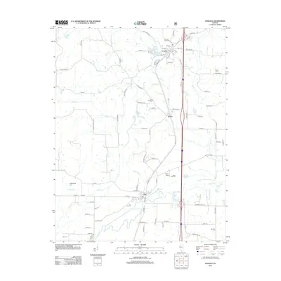
2012 Map of Dongola
USGS Topo · Published 2012About this map
The Dongola and Ullin settlements define the rail-oriented landscape of this southern Illinois quadrangle. Bound by the meandering path of the Cache River to the south, the terrain transitions from the low-lying wetlands of the river basin up toward Rattlesnake Hill and the prominent Butter Ridge. These elevation shifts created distinct pockets for early rural development, evidenced by the numerous burial grounds scattered across the township lines, including American Legion Cem, Mount Pisgah Cem, and the family-associated Sheffer Cem.
Find a feature on this map
89 named features on this map. Tap any name to fly to it.
Don’t see what you’re looking for? This feature index may not catch every label — zoom into the map to look around manually.
Map Details
Editions of this 2012 Dongola Map
This is the sole edition of this map. No revisions or reprints were ever made.
Other maps of this area

1920 · Jonesboro
USGS Topo · 1:62,500

1920 · Dongola
USGS Topo · 1:62,500

1923 · Dongola
USGS Topo · 1:62,500

1923 · Jonesboro
USGS Topo · 1:62,500

1931 · Cairo
USGS Topo · 1:62,500

1933 · Cairo
USGS Topo · 1:62,500

1934 · Thebes
USGS Topo · 1:62,500

1939 · Cairo
USGS Topo · 1:62,500

1939 · Thebes
USGS Topo · 1:62,500

1947 · Jonesboro
USGS Topo · 1:62,500