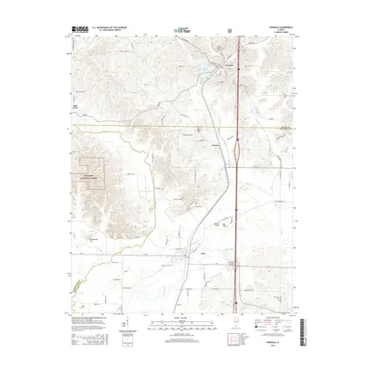
2015 Map of Dongola
USGS Topo · Published 2015About this map
The Cache River bottomlands and the transition to the southern Illinois hills define this landscape in the mid-2010s. The village of Dongola serves as a northern anchor, situated near Dongola Lake and the Canadian National RR, while Ullin sits at the southern edge near the Shawnee Community College. This area, spanning the borders of Union and Pulaski counties, reflects a deeply rooted rural community evidenced by numerous family and community burial sites such as Ullin City Cem, Mount Pisgah Cem, and New Hope Cem.
Find a feature on this map
89 named features on this map. Tap any name to fly to it.
Don’t see what you’re looking for? This feature index may not catch every label — zoom into the map to look around manually.
Map Details
Editions of this 2015 Dongola Map
This is the sole edition of this map. No revisions or reprints were ever made.
Other maps of this area

1920 · Jonesboro
USGS Topo · 1:62,500

1920 · Dongola
USGS Topo · 1:62,500

1923 · Dongola
USGS Topo · 1:62,500

1923 · Jonesboro
USGS Topo · 1:62,500

1931 · Cairo
USGS Topo · 1:62,500

1933 · Cairo
USGS Topo · 1:62,500

1934 · Thebes
USGS Topo · 1:62,500

1939 · Cairo
USGS Topo · 1:62,500

1939 · Thebes
USGS Topo · 1:62,500

1947 · Jonesboro
USGS Topo · 1:62,500