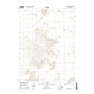
2015 Map of Donna Schee Peak
USGS Topo · Published 2015About this map
Donna Schee Peak dominates this high-altitude landscape in Humboldt County, rising above a series of prominent landforms that define the Great Basin character of the region. The map documents a classic basin-and-range topography, where the Jungo Hills and Krug Hill provide dramatic vertical relief against the flat, expansive Desert Valley to the east. The presence of Hardpans in the northern reaches and the Dry Hills to the northwest reflects the arid environment and seasonal water patterns of this remote interior territory.
Find a feature on this map
13 named features on this map. Tap any name to fly to it.
Don’t see what you’re looking for? This feature index may not catch every label — zoom into the map to look around manually.
Map Details
Editions of this 2015 Donna Schee Peak Map
This is the sole edition of this map. No revisions or reprints were ever made.
Other maps of this area

1886 · Disaster
USGS Topo · 1:250,000

1893 · Disaster
USGS Topo · 1:250,000

1931 · Lovelock
USGS Topo · 1:250,000

1935 · Lovelock
USGS Topo · 1:250,000

1954 · Vya
USGS Topo · 1:250,000

1955 · Lovelock
USGS Topo · 1:250,000

1958 · Vya
USGS Topo · 1:250,000

1959 · Lovelock
USGS Topo · 1:250,000

1962 · Vya
USGS Topo · 1:250,000
1966 · Donna Schee Peak
USGS Topo · 1:62,500