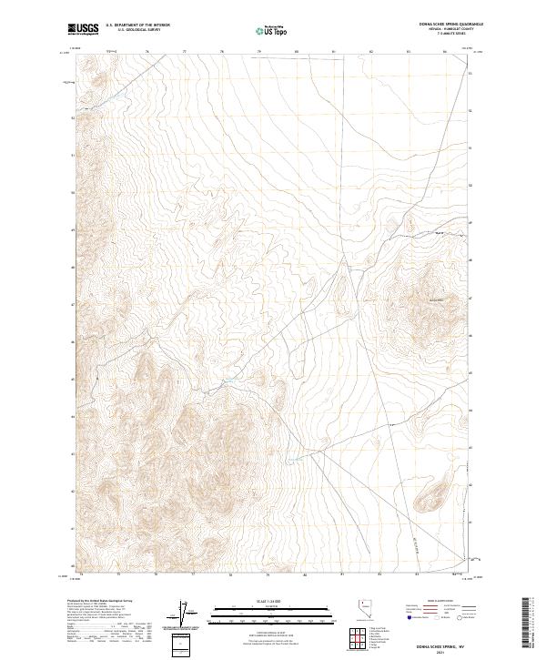
2021 Map of Donna Schee Spring
USGS Topo · Published 2021About this map
Donna Schee Spring and Noble Spring provide critical water points in this high-desert region of Humboldt County. Located within the Jungo Hills, these natural features are central to a landscape defined by dramatic elevation changes across the northern Nevada basin. Transport through the area is anchored by Bottle Creek Rd in the southeastern quadrant, which skirts the base of the hills near the boundary of t36n r32e. The drainage pattern is marked by Shawnee Cr in the northwest, which channels seasonal flow through the arid terrain. This topographic study emphasizes the importance of reliable water sources and established routes in a region where geography dictates movement and settlement patterns.
Find a feature on this map
11 named features on this map. Tap any name to fly to it.
Don’t see what you’re looking for? This feature index may not catch every label — zoom into the map to look around manually.
Map Details
Editions of this 2021 Donna Schee Spring Map
This is the sole edition of this map. No revisions or reprints were ever made.
Other maps of this area

1886 · Disaster
USGS Topo · 1:250,000

1893 · Disaster
USGS Topo · 1:250,000

1931 · Lovelock
USGS Topo · 1:250,000

1935 · Lovelock
USGS Topo · 1:250,000

1954 · Vya
USGS Topo · 1:250,000

1955 · Lovelock
USGS Topo · 1:250,000

1958 · Vya
USGS Topo · 1:250,000

1959 · Lovelock
USGS Topo · 1:250,000

1962 · Vya
USGS Topo · 1:250,000

1966 · Donna Schee Peak
USGS Topo · 1:62,500