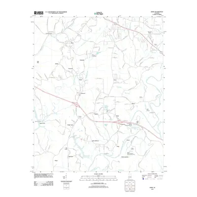
2011 Map of Dora
USGS Topo · Published 2011About this map
Locust Fork and its complex network of tributaries, including Horse Creek, Burnt Cane Creek, and Village Creek, define the landscape of this North-Central Alabama coal-mining corridor. The industrial legacy is prominently marked by massive infrastructure such as the Flat Top Mine - Number 1 Impoundment Dam and the Bessie Mines - Number 3 Impoundment Dam. These features, alongside the numerous small settlements like Yerkwood, Quinton, and Bessie, trace the development of the region's extraction economy and its residential patterns.
Find a feature on this map
159 named features on this map. Tap any name to fly to it.
Don’t see what you’re looking for? This feature index may not catch every label — zoom into the map to look around manually.
Map Details
Editions of this 2011 Dora Map
This is the sole edition of this map. No revisions or reprints were ever made.
Other maps of this area

1889 · Birmingham
USGS Topo · 1:125,000

1892 · Birmingham
USGS Topo · 1:125,000

1893 · Jasper
USGS Topo · 1:125,000

1895 · Birmingham
USGS Topo · 1:125,000

1904 · Birmingham Coal District
USGS Topo · 1:62,500

1906 · Birmingham Special
USGS Topo · 1:62,500

1907 · Birmingham
USGS Topo · 1:125,000

1935 · Port Birmingham
USGS Topo · 1:48,000

1938 · Port Birmingham
USGS Topo · 1:62,500

1949 · Cordova
USGS Topo · 1:24,000