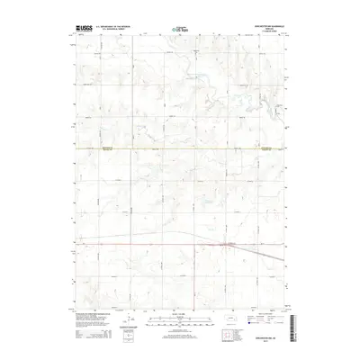
2014 Map of Dorchester NW
USGS Topo · Published 2014About this map
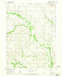
The West Fork Big Blue River meanders across the northern portion of this landscape, carving a winding path through the agricultural heartland of the Nebraska plains. This territory sits directly on the border between Seward and Saline Counties, defined by a rigid grid of rural thoroughfares such as Denton Rd and Rokeby Rd. The presence of Englehaupt Cem and West Mills Cem provides significant markers for local genealogy, situated near the river and smaller tributaries like Johnson Cr. The southern half of the map is dominated by the corridor of Us-6, which intersects with Ne-33 and Ne-15 near the basin of Otoe Cr. This network of state and federal highways highlights the area's role as a transit hub between the local townships and the surrounding agricultural countryside.
Find a feature on this map
29 named features on this map. Tap any name to fly to it.
Don’t see what you’re looking for? This feature index may not catch every label — zoom into the map to look around manually.
Map Details
Editions of this 2014 Dorchester NW Map
This is the sole edition of this map. No revisions or reprints were ever made.
Other maps of this area
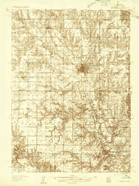
1934 · Seward
USGS Topo · 1:48,000
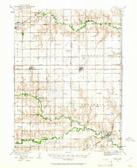
1934 · Utica
USGS Topo · 1:62,500
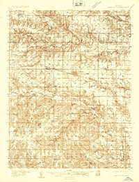
1935 · Dorchester
USGS Topo · 1:48,000
1937 · Utica
USGS Topo · 1:62,500
1939 · Seward
USGS Topo · 1:62,500
1940 · Dorchester
USGS Topo · 1:62,500
1955 · Lincoln
USGS Topo · 1:250,000
1957 · Lincoln
USGS Topo · 1:250,000
1958 · Lincoln
USGS Topo · 1:250,000
1964 · Pleasant Hill
USGS Topo · 1:24,000