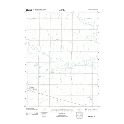
2011 Map of Dorchester
USGS Topo · Published 2011About this map
Dorchester serves as the primary hub of this eastern Nebraska landscape, situated near the southwestern corner where the Dorchester Post Office and local streets anchor the community. The surrounding terrain is defined by the hydrologic network of the Big Blue River and its West Fork, which meander through agricultural sections. Water management is a prominent theme of this era, evidenced by a series of detention structures including Detention Dam 1-A and Dorchester Reservoir 4-A. Local history is preserved at the Goldhammer Cemetery to the north and Dorchester Cemetery just outside the village. The landscape is neatly partitioned by a grid of rural routes such as Yankee Hill Rd and Denton Rd, while the southeast is home to Siedhoff Reservoir and its associated Siedhoff Dam along Otoe Creek.
Find a feature on this map
49 named features on this map. Tap any name to fly to it.
Don’t see what you’re looking for? This feature index may not catch every label — zoom into the map to look around manually.
Map Details
Editions of this 2011 Dorchester Map
This is the sole edition of this map. No revisions or reprints were ever made.
Other maps of this area

1897 · Lincoln
USGS Topo · 1:125,000

1934 · Seward
USGS Topo · 1:48,000

1935 · Dorchester
USGS Topo · 1:48,000

1939 · Seward
USGS Topo · 1:62,500

1940 · Dorchester
USGS Topo · 1:62,500

1955 · Lincoln
USGS Topo · 1:250,000

1957 · Lincoln
USGS Topo · 1:250,000

1958 · Lincoln
USGS Topo · 1:250,000
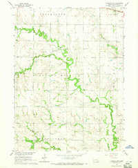
1964 · Pleasant Hill
USGS Topo · 1:24,000
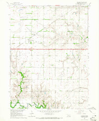
1964 · Goehner
USGS Topo · 1:24,000