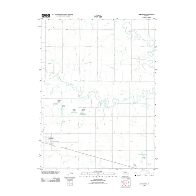
2021 Map of Dorchester
USGS Topo · Published 2021About this map
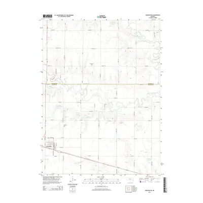
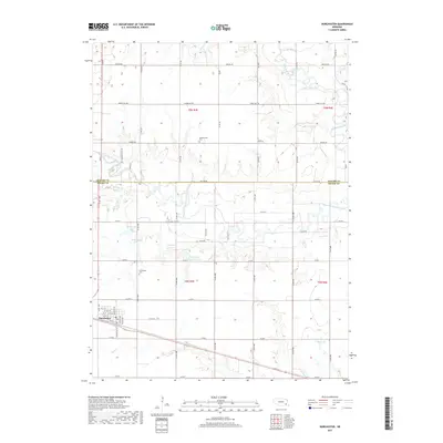
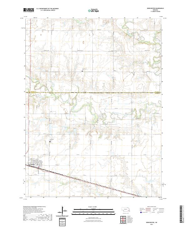
Dorchester serves as the primary hub of this eastern Nebraska landscape, situated near the intersection of the West Fork Big Blue River and several local drainages. The town's grid is detailed down to W 11th St and W 9th St, showing a compact residential and commercial center surrounded by a highly managed watershed. A series of flood control structures and impoundments, including Reservoir 1-A through Dorchester Reservoir 4-A, dominate the central terrain, illustrating the intensive water management required for the surrounding agricultural plains.
Find a feature on this map
36 named features on this map. Tap any name to fly to it.
Don’t see what you’re looking for? This feature index may not catch every label — zoom into the map to look around manually.
Map Details
Editions of this 2021 Dorchester Map
This is the sole edition of this map. No revisions or reprints were ever made.
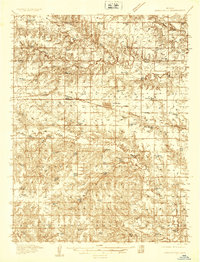
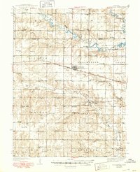
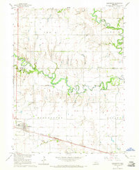
Historical Maps of Dorchester Through Time
7 maps found