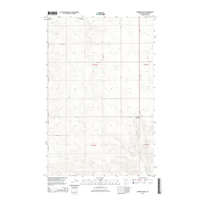
2014 Map of Dorner School
USGS Topo · Published 2014About this map
Dugout Coulee and East Dugout Coulee define the northern drainage patterns of this Chouteau County landscape, illustrating the eroded topography characteristic of the Montana plains. The terrain is marked by a network of local thoroughfares, including McLeish Rd, Egly Rd, and Buck Bridge Rd, which follow the section lines of the Public Land Survey System. These roads serve the agricultural holdings that span townships T26N and T27N. In the southeastern portion of the quadrangle, Chimney Rock Coulee and the adjacent Chimney Rock Rd indicate more varied relief near the modern corridor of MT-223. The map preserves the 2014 state of this rural region, where land use is dictated by the deeply incised coulees and the high, flat divides between them.
Find a feature on this map
17 named features on this map. Tap any name to fly to it.
Don’t see what you’re looking for? This feature index may not catch every label — zoom into the map to look around manually.
Map Details
Editions of this 2014 Dorner School Map
This is the sole edition of this map. No revisions or reprints were ever made.
Other maps of this area
1886 · Great Falls
USGS Topo · 1:250,000
1890 · Fort Benton
USGS Topo · 1:250,000
1892 · Fort Benton
USGS Topo · 1:250,000
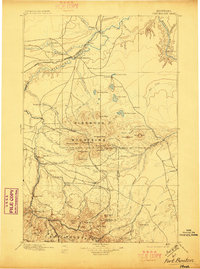
1897 · Fort Benton
USGS Topo · 1:250,000
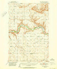
1950 · Dent Bridge
USGS Topo · 1:62,500

1954 · Great Falls
USGS Topo · 1:250,000
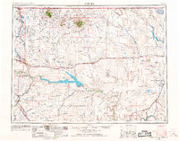
1954 · Shelby
USGS Topo · 1:250,000
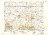
1957 · Great Falls
USGS Topo · 1:250,000
1958 · Shelby
USGS Topo · 1:250,000
1970 · Penzer School
USGS Topo · 1:24,000