Loading...
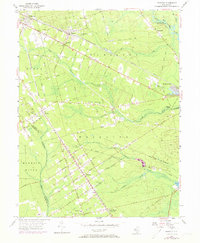
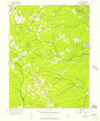
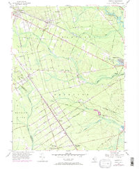
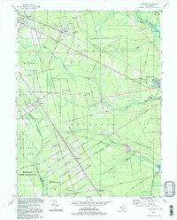
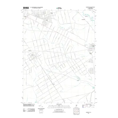
Loading map...1956 Map of Dorothy
USGS Topo · Published 1973About this map
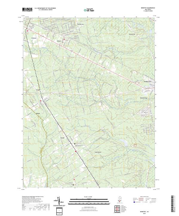
Dorothy and the surrounding townships of Buena Vista and Weymouth are defined by the iron and rail history of the New Jersey Pine Barrens. The Pennsylvania-Reading Seashore Lines cuts a diagonal path through the landscape, connecting settlements like Mizpah and Richland to the coast. Cultural centers of these small communities are represented by St Johns Ch and Mt Calvary Ch, while the industrial past is visible at Walkers Forge on the banks of the South River.
Find a feature on this map
41 named features on this map. Tap any name to fly to it.
Don’t see what you’re looking for? This feature index may not catch every label — zoom into the map to look around manually.
Map Details
Date Portrayed1956
Date Published1973
PublisherU.S. Geological Survey
Map TypeTopographic
Scale1:24,000
Physical Dimensions22.1 x 26.8 inches
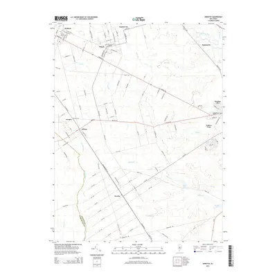
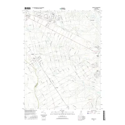
Editions of this 1956 Dorothy Map
4 editions found

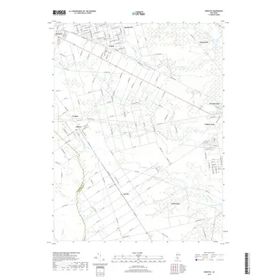
Historical Maps of Hamilton Township Through Time
7 maps found
Featured Locations
- Hamilton Township, NJ
- Buena Vista Township, NJ
- Weymouth Township, NJ
- Estell Manor, NJ
- Maurice River Township, NJ
Source Details
SourceU.S. Geological Survey
CopyrightPublic Domain