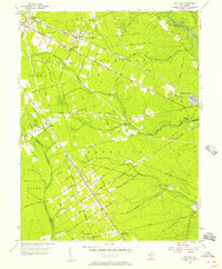
1956 Map of Dorothy
USGS Topo · Published 1957About this map
Dorothy serves as a primary hub for this mid-century portrait of Atlantic County, defined by a distinct grid of residential avenues and the passage of the Pennsylvania-Reading Seashore Lines. The area's social and community structure is evident in the cluster of institutions like Community Ch Cem and the Estell Manor Sch. The landscape transitions from these organized settlements into the denser wooded reaches of the Weymouth and Hamilton districts, where local industry left its mark through several Gravel Pits and the historic site of Walkers Forge near the Great Egg Harbor River.
Find a feature on this map
53 named features on this map. Tap any name to fly to it.
Don’t see what you’re looking for? This feature index may not catch every label — zoom into the map to look around manually.
Map Details
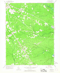
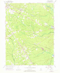
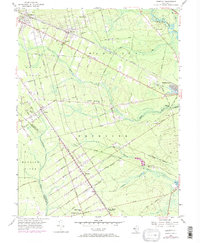
Editions of this 1956 Dorothy Map
4 editions found
Other maps of this area

1890 · Great Egg Harbor
USGS Topo · 1:62,500

1890 · Hammonton
USGS Topo · 1:62,500

1890 · Tuckahoe
USGS Topo · 1:62,500

1890 · Mullica
USGS Topo · 1:62,500

1893 · Great Egg Harbor
USGS Topo · 1:62,500

1893 · Tuckahoe
USGS Topo · 1:62,500

1894 · Hammonton
USGS Topo · 1:62,500

1894 · Mullica
USGS Topo · 1:62,500

1898 · Mullica
USGS Topo · 1:62,500

1898 · Hammonton
USGS Topo · 1:62,500
Featured Places
- Hamilton Township, NJ
- Maurice River Township, NJ
- Buena Vista Township, NJ
- Weymouth Township, NJ
- Estell Manor, NJ