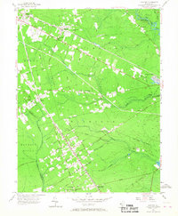
1956 Map of Dorothy
USGS Topo · Published 1967About this map
The Pennsylvania-Reading Seashore Lines cuts a sharp diagonal through this South Jersey landscape, anchoring the development of small communities like Dorothy and Mizpah. This mid-century survey reveals a transition from traditional forest industries to more modern recreational and residential uses, evidenced by the Atlantic City Girl Scout Camp on the Great Egg Harbor River and the grid-like planning of Gigantic City. The interior is characterized by dense woodland drained by the South Branch Stephen Creek and James Branch, with old industrial roots still visible at Walkers Forge.
Find a feature on this map
55 named features on this map. Tap any name to fly to it.
Don’t see what you’re looking for? This feature index may not catch every label — zoom into the map to look around manually.
Map Details
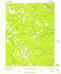
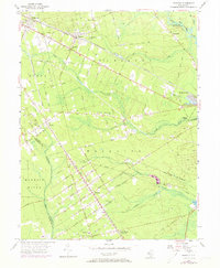
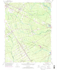
Editions of this 1956 Dorothy Map
4 editions found
Other maps of this area

1890 · Great Egg Harbor
USGS Topo · 1:62,500

1890 · Hammonton
USGS Topo · 1:62,500

1890 · Tuckahoe
USGS Topo · 1:62,500

1890 · Mullica
USGS Topo · 1:62,500

1893 · Great Egg Harbor
USGS Topo · 1:62,500

1893 · Tuckahoe
USGS Topo · 1:62,500

1894 · Hammonton
USGS Topo · 1:62,500

1894 · Mullica
USGS Topo · 1:62,500

1898 · Mullica
USGS Topo · 1:62,500

1898 · Hammonton
USGS Topo · 1:62,500
Featured Places
- Hamilton Township, NJ
- Maurice River Township, NJ
- Buena Vista Township, NJ
- Weymouth Township, NJ
- Estell Manor, NJ