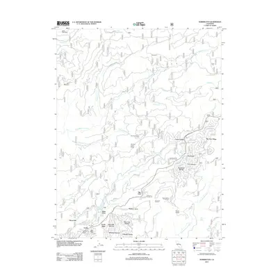
2012 Map of Dorrington
USGS Topo · Published 2012About this map
Dorrington and the surrounding Calaveras County communities are defined by a network of mountain roads and recreational camps. The landscape transitions from the industrial history of Manuel Mill to the residential developments of Big Trees Village and Blue Lake Springs. Several youth organizations maintain a presence here, including the Camp Sugar Pine Girl Scout Camp and the Menzies Girl Scout Camp, taking advantage of the terrain near the S Fork Mokelumne River. The map reveals a dense street grid in the south, where Arnold and White Pines sit near the Arnold District Ranger Office. This 2012 survey illustrates how the area has evolved into a cluster of high-elevation retreats and seasonal communities, with family-named locations like Mumbert Acres and Buck Ranch still anchoring the local geography alongside natural landmarks like Big Trees.
Find a feature on this map
91 named features on this map. Tap any name to fly to it.
Don’t see what you’re looking for? This feature index may not catch every label — zoom into the map to look around manually.
Map Details
Editions of this 2012 Dorrington Map
This is the sole edition of this map. No revisions or reprints were ever made.
Other maps of this area

1891 · Big Trees
USGS Topo · 1:125,000

1894 · Big Trees
USGS Topo · 1:125,000

1897 · Big Trees
USGS Topo · 1:125,000

1901 · Big Trees
USGS Topo · 1:125,000

1947 · Sacramento
USGS Topo · 1:250,000

1948 · Sacramento
USGS Topo · 1:250,000

1948 · Columbia
USGS Topo · 1:62,500
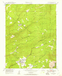
1948 · Murphys
USGS Topo · 1:24,000

1948 · Stanislaus
USGS Topo · 1:24,000
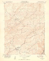
1949 · Murphys
USGS Topo · 1:24,000