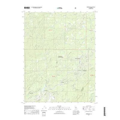
2018 Map of Dorrington
USGS Topo · Published 2018About this map
Stanislaus National Forest blankets this high-country landscape, where the S Fork Mokelumne River and the North Fork Stanislaus River carve through deep timber and granitic ridges. The area serves as a significant recreational and residential corridor along the Sierra Nevada, anchored by the long-standing settlements of Dorrington and Camp Connell. Toward the south, the community of White Pines and the legacy of Manuel Mill point to the region's industrial timber roots, while the protected groves of Big Trees remain a central landmark. The terrain is defined by dramatic elevation changes, from the heights of Blue Mtn and Summit Level Ridge down to the volcanic formations of the Lava Bluffs. Numerous springs like San Antonio Spring and Million Dollar Spring feed the complex network of creeks that once supported early hydraulic mining and mountain camps throughout the Calaveras and Tuolumne borderlands.
Find a feature on this map
99 named features on this map. Tap any name to fly to it.
Don’t see what you’re looking for? This feature index may not catch every label — zoom into the map to look around manually.
Map Details
Editions of this 2018 Dorrington Map
This is the sole edition of this map. No revisions or reprints were ever made.
Other maps of this area

1891 · Big Trees
USGS Topo · 1:125,000

1894 · Big Trees
USGS Topo · 1:125,000

1897 · Big Trees
USGS Topo · 1:125,000

1901 · Big Trees
USGS Topo · 1:125,000

1947 · Sacramento
USGS Topo · 1:250,000

1948 · Sacramento
USGS Topo · 1:250,000

1948 · Columbia
USGS Topo · 1:62,500
1948 · Murphys
USGS Topo · 1:24,000

1948 · Stanislaus
USGS Topo · 1:24,000
1949 · Murphys
USGS Topo · 1:24,000