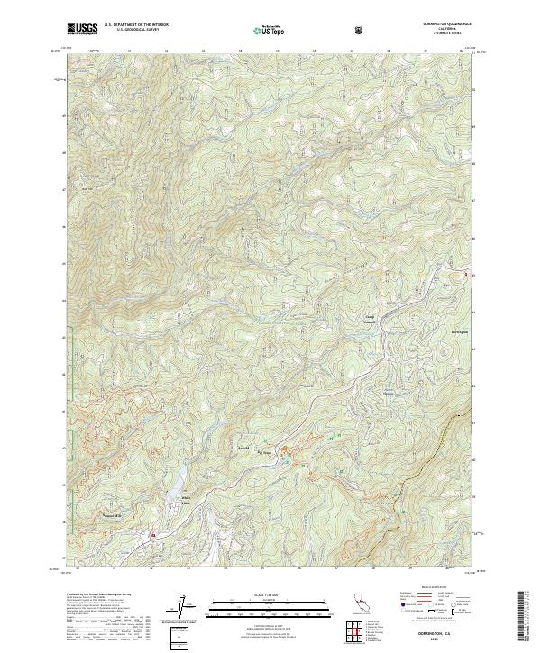
2023 Map of Dorrington
USGS Topo · Published 2023About this map
Dorrington and the surrounding high-country settlements of the Stanislaus National Forest are documented in this contemporary topographic record of the Sierra Nevada. The terrain is defined by the steep drainage basins of the South Fork Mokelumne River to the north and the North Fork Stanislaus River to the south, separated by the prominent Summit Level Ridge.
Find a feature on this map
163 named features on this map. Tap any name to fly to it.
Don’t see what you’re looking for? This feature index may not catch every label — zoom into the map to look around manually.
Map Details
Editions of this 2023 Dorrington Map
This is the sole edition of this map. No revisions or reprints were ever made.
Other maps of this area

1891 · Big Trees
USGS Topo · 1:125,000

1894 · Big Trees
USGS Topo · 1:125,000

1897 · Big Trees
USGS Topo · 1:125,000

1901 · Big Trees
USGS Topo · 1:125,000

1947 · Sacramento
USGS Topo · 1:250,000

1948 · Sacramento
USGS Topo · 1:250,000

1948 · Columbia
USGS Topo · 1:62,500
1948 · Murphys
USGS Topo · 1:24,000

1948 · Stanislaus
USGS Topo · 1:24,000
1949 · Murphys
USGS Topo · 1:24,000