Loading...
Loading map...2023 Map of Dorrington
USGS Topo · Published 2023About this map
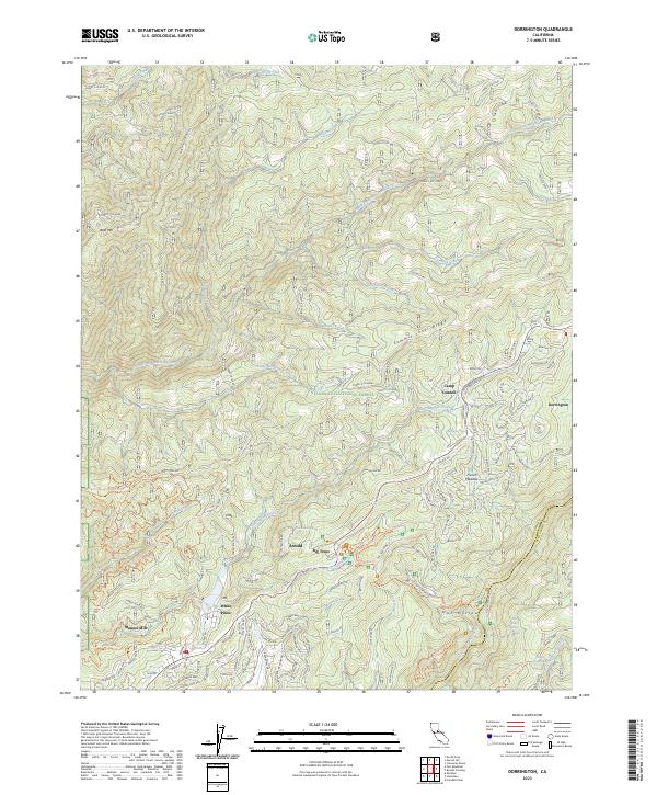
Dorrington and the surrounding high-country settlements of the Stanislaus National Forest are documented in this contemporary topographic record of the Sierra Nevada. The terrain is defined by the steep drainage basins of the South Fork Mokelumne River to the north and the North Fork Stanislaus River to the south, separated by the prominent Summit Level Ridge.
Find a feature on this map
163 named features on this map. Tap any name to fly to it.
Don’t see what you’re looking for? This feature index may not catch every label — zoom into the map to look around manually.
Map Details
Date Portrayed2023
Date Published2023
PublisherU.S. Geological Survey
Map TypeTopographic
Scale1:24000
Physical Dimensions24 x 29 inches
Editions of this 2023 Dorrington Map
This is the sole edition of this map. No revisions or reprints were ever made.
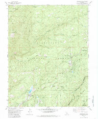
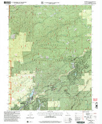
Historical Maps of Blue Lake Springs Through Time
3 maps found
Featured Locations
Source Details
SourceU.S. Geological Survey
CopyrightPublic Domain