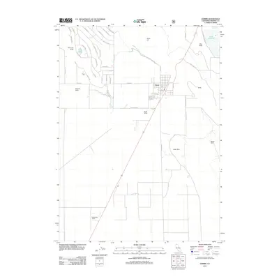
2012 Map of Dorris
USGS Topo · Published 2012About this map
Butte Valley serves as the topographic centerpiece of this Northern California border region, where the town of Dorris sits along the primary north-south transit corridor. The settlement's grid-like street pattern is anchored by essential services like the post office, while the outlying landscape is shaped by volcanic-era formations such as Dorris Hill and Otey Ridge. To the northwest, the Picard Cemetery stands as a significant genealogical marker for local family history, located near the intersection of Picard Road and Cemetery Road.
Find a feature on this map
47 named features on this map. Tap any name to fly to it.
Don’t see what you’re looking for? This feature index may not catch every label — zoom into the map to look around manually.
Map Details
Editions of this 2012 Dorris Map
This is the sole edition of this map. No revisions or reprints were ever made.
Other maps of this area

1886 · Modoc Lava Bed
USGS Topo · 1:250,000

1886 · Shasta
USGS Topo · 1:250,000

1889 · Klamath
USGS Topo · 1:250,000

1891 · Ashland
USGS Topo · 1:250,000

1892 · Modoc Lava-Bed
USGS Topo · 1:250,000

1893 · Ashland
USGS Topo · 1:250,000

1894 · Klamath
USGS Topo · 1:250,000

1894 · Shasta
USGS Topo · 1:250,000

1897 · Ashland
USGS Topo · 1:250,000

1934 · Macdoel
USGS Topo · 1:96,000