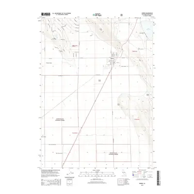
2015 Map of Dorris
USGS Topo · Published 2015About this map
Dorris stands as a central community in this 2015 U.S. Geological Survey representation of northern Siskiyou County, situated within the expanse of Butte Valley. The map highlights a transition from the agricultural and residential grids of the valley floor to the rising topography of Dorris Hill and Otey Ridge. Local history is anchored by the Picard Cemetery, which remains a significant landmark alongside the nearby Pleasant Valley.
Find a feature on this map
59 named features on this map. Tap any name to fly to it.
Don’t see what you’re looking for? This feature index may not catch every label — zoom into the map to look around manually.
Map Details
Editions of this 2015 Dorris Map
This is the sole edition of this map. No revisions or reprints were ever made.
Other maps of this area

1886 · Modoc Lava Bed
USGS Topo · 1:250,000

1886 · Shasta
USGS Topo · 1:250,000

1889 · Klamath
USGS Topo · 1:250,000

1891 · Ashland
USGS Topo · 1:250,000

1892 · Modoc Lava-Bed
USGS Topo · 1:250,000

1893 · Ashland
USGS Topo · 1:250,000

1894 · Klamath
USGS Topo · 1:250,000

1894 · Shasta
USGS Topo · 1:250,000

1897 · Ashland
USGS Topo · 1:250,000

1934 · Macdoel
USGS Topo · 1:96,000