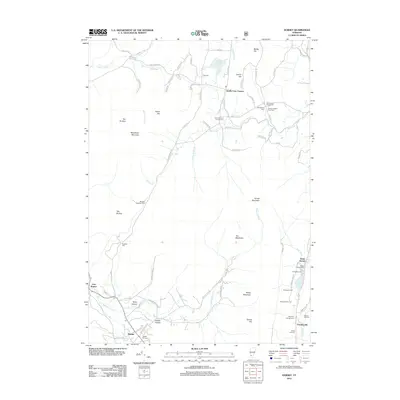
2012 Map of Dorset
USGS Topo · Published 2012About this map
The Mettawee River valley and its surrounding peaks define this 2012 survey of the Vermont landscape. Settled pockets like Dorset, Dorset Hollow, and Danby Four Corners sit amidst a topography marked by Woodlawn Mountain, Dorset Mountain, and Netop Mountain. Genealogists will find a high density of burial sites across the township, including the Quaker-Staples Farm Cem, Otis Cem, and Read-Old Four Corners Cem.
Find a feature on this map
92 named features on this map. Tap any name to fly to it.
Don’t see what you’re looking for? This feature index may not catch every label — zoom into the map to look around manually.
Map Details
Editions of this 2012 Dorset Map
This is the sole edition of this map. No revisions or reprints were ever made.
Other maps of this area
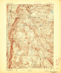
1893 · Wallingford
USGS Topo · 1:62,500
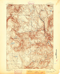
1894 · Londonderry
USGS Topo · 1:62,500

1894 · Pawlet
USGS Topo · 1:62,500
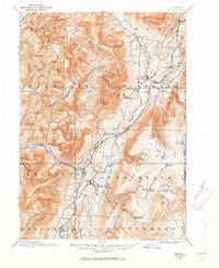
1894 · Equinox
USGS Topo · 1:62,500
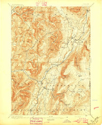
1896 · Equinox
USGS Topo · 1:62,500
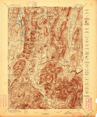
1897 · Pawlet
USGS Topo · 1:62,500
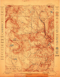
1899 · Londonderry
USGS Topo · 1:62,500
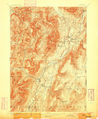
1900 · Equinox
USGS Topo · 1:62,500
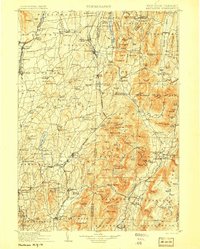
1903 · Mettawee
USGS Topo · 1:125,000
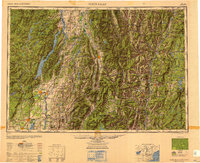
1950 · Glens Falls
USGS Topo · 1:250,000