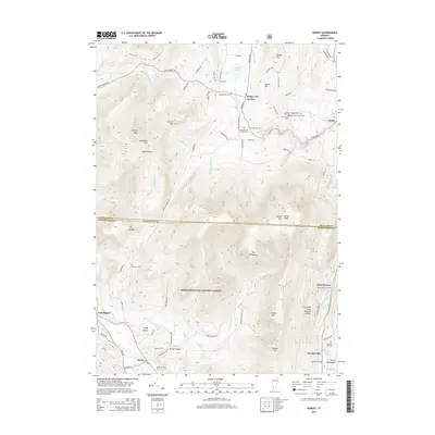
2015 Map of Dorset
USGS Topo · Published 2015About this map
The Green Mountain National Forest dominates the high-elevation terrain of this southern Vermont landscape, where steep ridgelines divide several small valley settlements. The terrain is marked by prominent peaks such as Dorset Peak and Woodlawn Mtn, while the Mettawee River and Flower Brook drain the valleys below. A notable concentration of small, family-named burial grounds like the Quaker-Staples Farm Cem and Red School House Cem suggests a deep lineage of early homesteads in the areas around Danby Four Corners and Dorset. These small cemeteries are often the last visible indicators of the 19th-century hill farms that preceded the reforestation of the Green Mountains. The eastern edge follows the corridor of the Otter Creek, passing through Danby and North Dorset, where Emerald Lake and the Emerald Lake Natural Bridge highlight the unique limestone geography of the region.
Find a feature on this map
89 named features on this map. Tap any name to fly to it.
Don’t see what you’re looking for? This feature index may not catch every label — zoom into the map to look around manually.
Map Details
Editions of this 2015 Dorset Map
This is the sole edition of this map. No revisions or reprints were ever made.
Other maps of this area

1893 · Wallingford
USGS Topo · 1:62,500

1894 · Londonderry
USGS Topo · 1:62,500

1894 · Pawlet
USGS Topo · 1:62,500

1894 · Equinox
USGS Topo · 1:62,500

1896 · Equinox
USGS Topo · 1:62,500

1897 · Pawlet
USGS Topo · 1:62,500

1899 · Londonderry
USGS Topo · 1:62,500

1900 · Equinox
USGS Topo · 1:62,500

1903 · Mettawee
USGS Topo · 1:125,000

1950 · Glens Falls
USGS Topo · 1:250,000