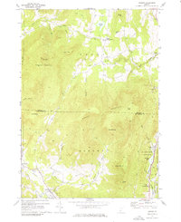
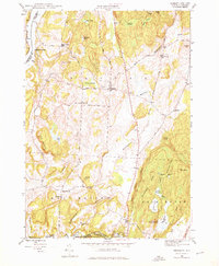
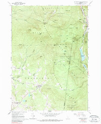
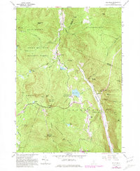
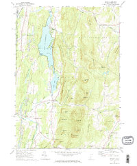
1967 Map of Dorset
USGS Topo · Published 1976About this map
Dorset Mountain dominates this mid-1960s topographical survey, where the peaks of the Taconic Range separate the drainage of the Mettawee River and Otter Creek. The landscape is a study in Vermont’s industrial and recreational evolution, featuring numerous quarries and a distinctive Incline RR on the eastern slopes of the mountain near Danby. These features reflect a history of marble extraction that shaped the local economy.
Find a feature on this map
46 named features on this map. Tap any name to fly to it.
Don’t see what you’re looking for? This feature index may not catch every label — zoom into the map to look around manually.
Map Details
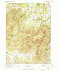
Editions of this 1967 Dorset Map
2 editions found
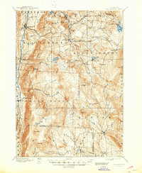
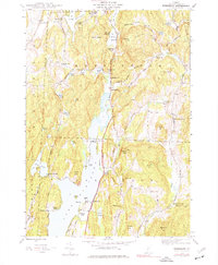
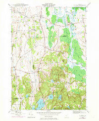
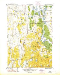
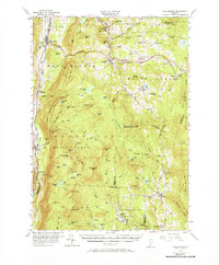
Historical Maps of Dorset Through Time
39 maps found
1893 Wallingford
Rutland County, VT

1895 Castleton
Rutland County, VT

1897 Castleton
Rutland County, VT
1944 Bomoseen
Rutland County, VT
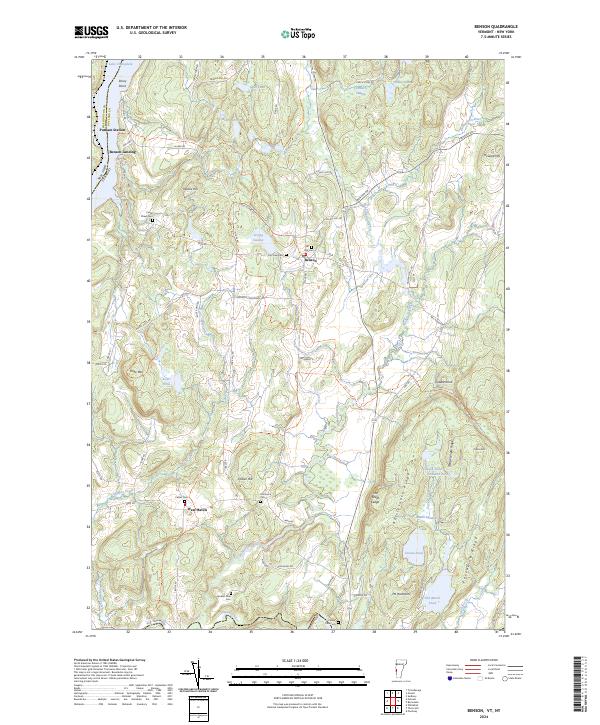
1946 Benson
Rutland County, VT

1946 Brandon
Rutland County, VT
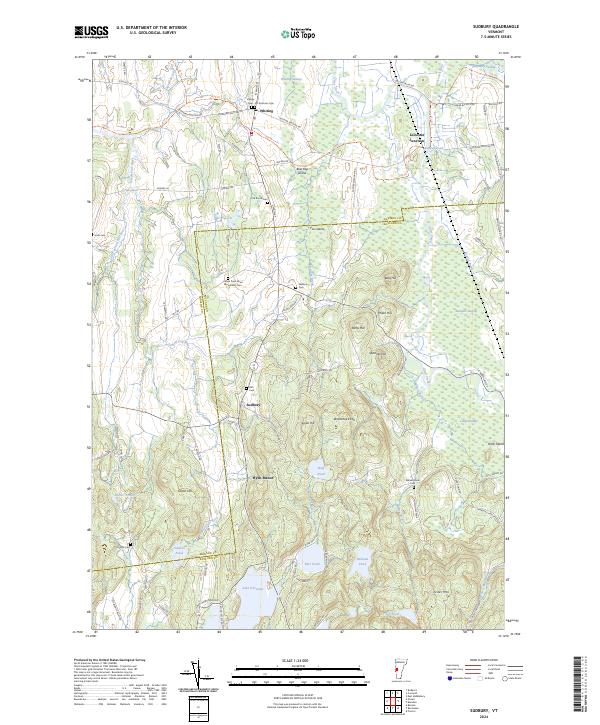
1946 Sudbury
Rutland County, VT

1948 Benson
Rutland County, VT
1948 Sudbury
Rutland County, VT
1955 Wallingford
Rutland County, VT
1961 Killington Peak
Rutland County, VT
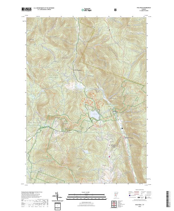
1961 Pico Peak
Rutland County, VT
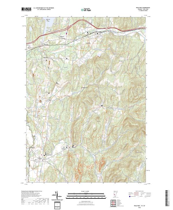
1964 Poultney
Rutland County, VT
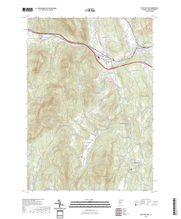
1964 West Rutland
Rutland County, VT
1967 Dorset
Rutland County, VT
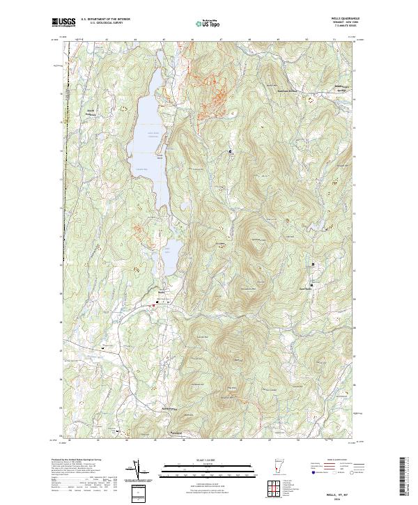
1967 Wells
Rutland County, VT

1970 Mount Carmel
Rutland County, VT
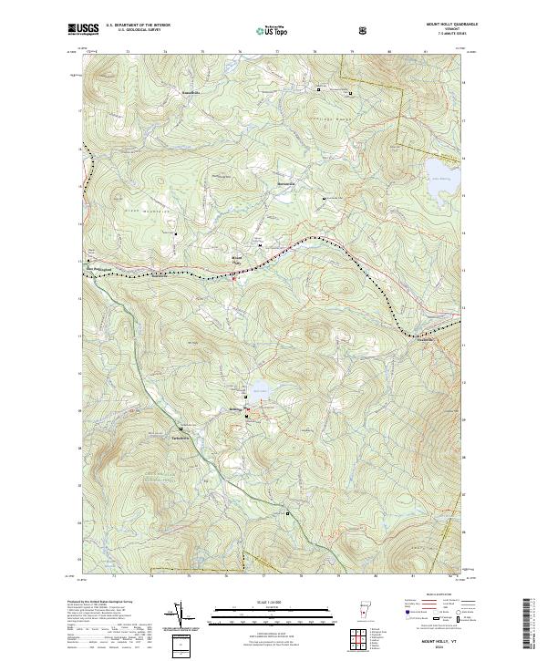
1986 Mount Holly
Rutland County, VT

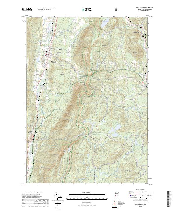
1986 Wallingford
Rutland County, VT

1997 Brandon
Rutland County, VT

1997 Dorset
Rutland County, VT

1997 Killington Peak
Rutland County, VT

1997 Mount Carmel
Rutland County, VT

1997 Mount Holly
Rutland County, VT

1997 Pico Peak
Rutland County, VT

1997 Wallingford
Rutland County, VT
2024 Benson
Rutland County, VT
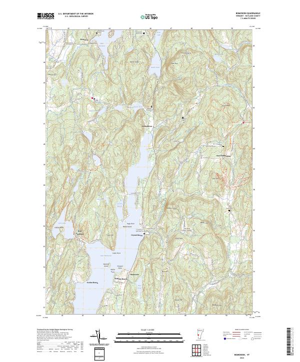
2024 Bomoseen
Rutland County, VT
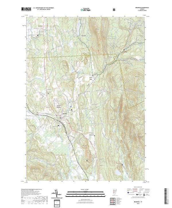
2024 Brandon
Rutland County, VT
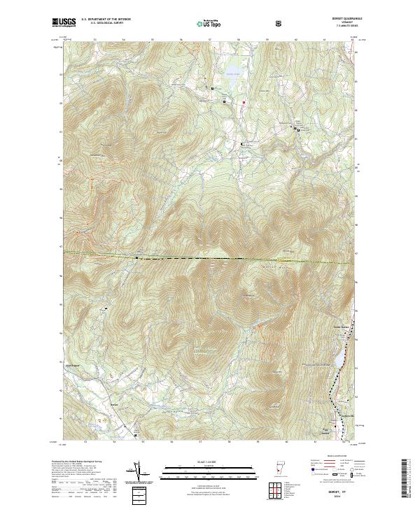
2024 Dorset
Rutland County, VT
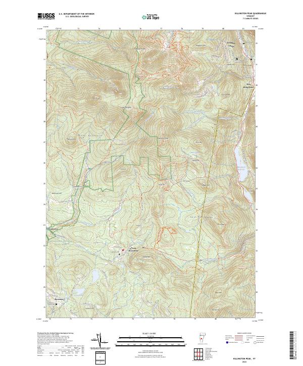
2024 Killington Peak
Rutland County, VT
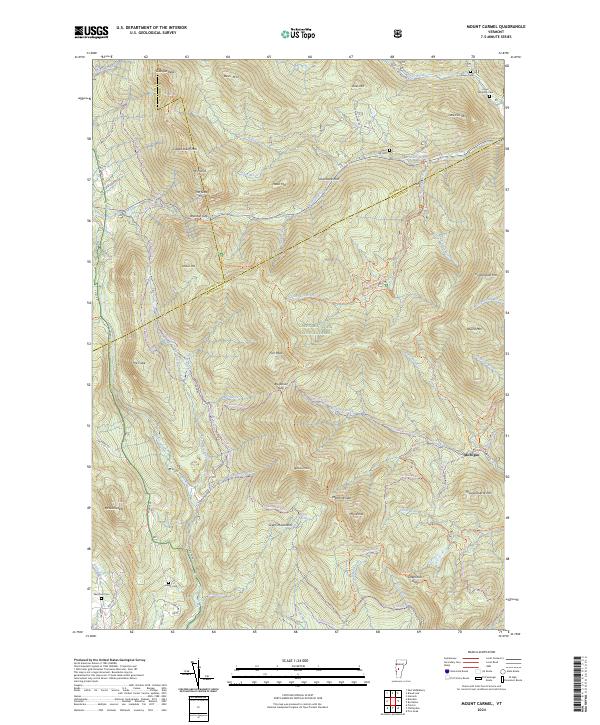
2024 Mount Carmel
Rutland County, VT
2024 Mount Holly
Rutland County, VT
2024 Pico Peak
Rutland County, VT
2024 Poultney
Rutland County, VT
2024 Sudbury
Rutland County, VT
2024 Wallingford
Rutland County, VT
2024 Wells
Rutland County, VT
2024 West Rutland
Rutland County, VT