
1943 Map of Dos Cabezas
USGS Topo · Published 1943About this map
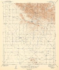
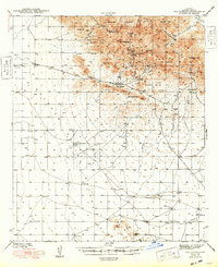
Dos Cabezas anchors this southeastern Arizona survey, situated at the base of the mountains bearing the same name. Surveyed in the early 1940s, the map reveals a landscape defined by mining activity and ranching outposts. Hard-rock mining operations like the Elma Mine and the Mascot Mine are positioned high in the peaks near Mineral Park, while the broader terrain is marked by named summits including Government Peak and Simmons Peak. The transition from the steep peaks to the desert floor is evidenced by numerous canyons and draws such as Mescal Can and Mogul Draw, which feed into the wide Sulphur Spring Valley. Windmills and tanks scattered across the valley floor, alongside the Arrowhead Ranch and SS Ranch, highlight the importance of water management in this arid cattle-country environment during the mid-twentieth century.
Find a feature on this map
35 named features on this map. Tap any name to fly to it.
Don’t see what you’re looking for? This feature index may not catch every label — zoom into the map to look around manually.
Map Details
Editions of this 1943 Dos Cabezas Map
3 editions found
Other maps of this area

1916 · Pearce
USGS Topo · 1:125,000

1917 · San Simon
USGS Topo · 1:125,000

1917 · Chiricahua
USGS Topo · 1:125,000

1919 · Chiricahua
USGS Topo · 1:125,000

1922 · Willcox
USGS Topo · 1:125,000

1926 · Light
USGS Topo · 1:62,500

1926 · Cochise Head
USGS Topo · 1:62,500

1926 · Rucker
USGS Topo · 1:62,500

1926 · Courtland
USGS Topo · 1:62,500

1928 · Bowie
USGS Topo · 1:62,500