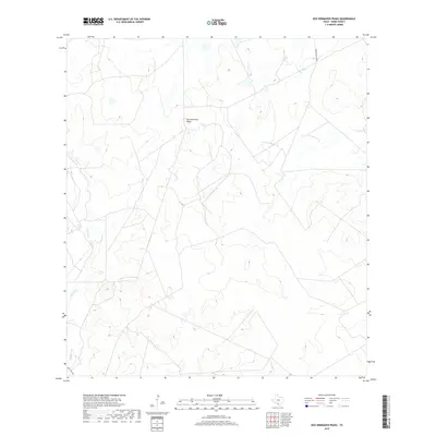
2019 Map of Dos Hermanos Peaks
USGS Topo · Published 2019About this map
Dos Hermanos Peaks rises as the central topographic landmark in this section of Webb County, defining a landscape carved by a network of intermittent waterways. Drainage patterns across this arid terrain are established by several systems, including Espada Cr, Espita Cr, and Tierra Blanca Cr, which snake through the undulating brush country. The map captures a primarily undeveloped ranching area during the late 2010s, where transportation is limited to a few arterial routes such as Ranch Road 3270B in the northeast and Eagle Pass Rd clipping the southwest corner. The scarcity of named structures or settlements emphasizes the vast, open nature of these Texas borderlands, where the primary human footprint is found in the scattered ranch tanks and fencing lines that follow the natural contours of the land toward Pinto Cr.
Find a feature on this map
7 named features on this map. Tap any name to fly to it.
Don’t see what you’re looking for? This feature index may not catch every label — zoom into the map to look around manually.
Map Details
Editions of this 2019 Dos Hermanos Peaks Map
This is the sole edition of this map. No revisions or reprints were ever made.
Other maps of this area
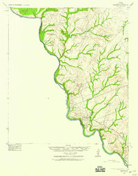
1923 · Palafox
USGS Topo · 1:62,500
1929 · Cotulla
USGS Topo · 1:125,000
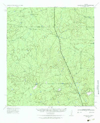
1940 · Velenzuela Creek
USGS Topo · 1:62,500
1940 · San Loranzo Creek
USGS Topo · 1:62,500

1953 · Crystal City
USGS Topo · 1:250,000

1955 · Crystal City
USGS Topo · 1:250,000
1956 · Las Tiendas
USGS Topo · 1:62,500

1956 · Laredo
USGS Topo · 1:250,000
1961 · Crystal City
USGS Topo · 1:250,000
1965 · Las Tiendas
USGS Topo · 1:24,000