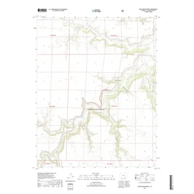
2019 Map of Doss Canyon North
USGS Topo · Published 2019About this map
Comanche National Grassland dominates this section of Las Animas County, where the high plains are deeply incised by the winding course of the Purgatoire River. This 2019 survey captures the complex drainage systems that define the local topography, featuring significant lateral formations such as Lockwood Canyon and Purgatoire Canyon. The map illustrates how seasonal water flow has carved a network of arroyos and canyons across the landscape, including Taylor Arroyo and Lockwood Arroyo.
Find a feature on this map
20 named features on this map. Tap any name to fly to it.
Don’t see what you’re looking for? This feature index may not catch every label — zoom into the map to look around manually.
Map Details
Editions of this 2019 Doss Canyon North Map
This is the sole edition of this map. No revisions or reprints were ever made.
Other maps of this area

1891 · Timpas
USGS Topo · 1:125,000

1891 · Mesa De Maya
USGS Topo · 1:125,000

1893 · Mesa de Maya
USGS Topo · 1:125,000

1894 · Timpas
USGS Topo · 1:125,000

1955 · La Junta
USGS Topo · 1:250,000

1958 · La Junta
USGS Topo · 1:250,000

1968 · La Junta
USGS Topo · 1:250,000

1972 · Johnson Canyon
USGS Topo · 1:24,000

1972 · Doss Canyon North
USGS Topo · 1:24,000

1972 · Doss Canyon South
USGS Topo · 1:24,000