
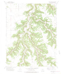
1972 Map of Doss Canyon South
USGS Topo · Published 1975About this map
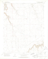
The Purgatoire River carves through the northwestern corner of this landscape, creating the steep walls of Purgatoire Canyon and several tributary drainages including Henry George Canyon and Perly Canyon. This 1971 photogrammetric survey reveals a sparsely populated ranching environment in Las Animas County where water sources like various Springs dictated the locations of early tracks and fence lines. Evidence of local community and infrastructure is anchored by the Pleasant View Cem and the presence of several Landing Strips, likely serving the remote ranching operations common in this part of Colorado. The southern portion of the sheet is dominated by the winding path of Bachicha Canyon, while Pipeline Road provides a linear contrast to the natural topography of Doss Canyon.
Find a feature on this map
13 named features on this map. Tap any name to fly to it.
Don’t see what you’re looking for? This feature index may not catch every label — zoom into the map to look around manually.
Map Details
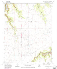
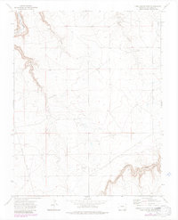
Editions of this 1972 Doss Canyon South Map
4 editions found
Other maps of this area

1891 · Mesa De Maya
USGS Topo · 1:125,000

1893 · Mesa de Maya
USGS Topo · 1:125,000

1955 · La Junta
USGS Topo · 1:250,000

1958 · La Junta
USGS Topo · 1:250,000

1968 · La Junta
USGS Topo · 1:250,000

1972 · Johnson Canyon
USGS Topo · 1:24,000

1972 · Doss Canyon North
USGS Topo · 1:24,000

1972 · Miners Peak
USGS Topo · 1:24,000
1972 · Painted Canyon
USGS Topo · 1:24,000
1972 · Humbar Spring
USGS Topo · 1:24,000