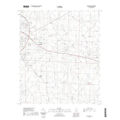
2020 Map of Dothan East
USGS Topo · Published 2020About this map
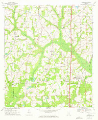
Dothan and its eastern environs are characterized by a network of small agricultural and residential communities interconnected by a dense web of county roads and state routes. The landscape transition from the urban periphery of the county seat toward smaller settlements like Cowarts and Ashford is marked by numerous water bodies, including Porters Lake and Ingram Lake, alongside several farm ponds like Green Valley Farm Ponds. For those researching local history, the area contains a significant number of cemeteries, such as Hurts Chapel Cem and Crestlawn Cem, which are often situated near longstanding community centers like Webb and Avon. The presence of the Alabama College of Osteopathic Medicine indicates the modern institutional growth occurring on the eastern edge of the city. Smaller, historically distinct locales like Wilson Quarters and Ardilla appear alongside larger drainage systems like Cowarts Cr and Webb Cr, providing a clear view of the region's rural-to-suburban development pattern.
Find a feature on this map
176 named features on this map. Tap any name to fly to it.
Don’t see what you’re looking for? This feature index may not catch every label — zoom into the map to look around manually.
Map Details
Editions of this 2020 Dothan East Map
This is the sole edition of this map. No revisions or reprints were ever made.
Other maps of this area

1953 · Dothan
USGS Topo · 1:250,000

1954 · Dothan
USGS Topo · 1:250,000

1955 · Dothan
USGS Topo · 1:250,000

1969 · Dothan East
USGS Topo · 1:24,000
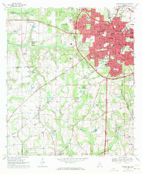
1969 · Dothan West
USGS Topo · 1:24,000
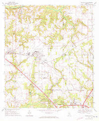
1969 · Midland City
USGS Topo · 1:24,000

1969 · Headland
USGS Topo · 1:24,000
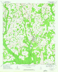
1969 · Cottonwood
USGS Topo · 1:24,000
1969 · Madrid
USGS Topo · 1:24,000

1970 · Sigma
USGS Topo · 1:24,000