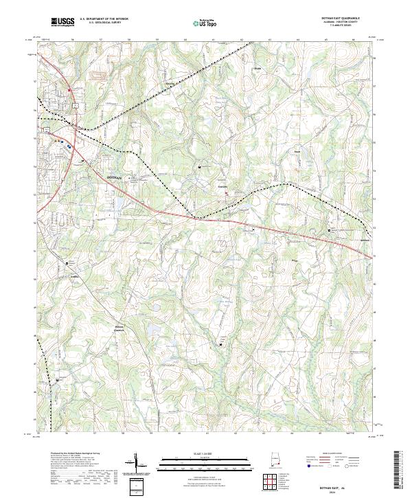
2024 Map of Dothan East
USGS Topo · Published 2024About this map
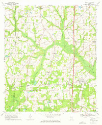
Dothan and its eastern outskirts serve as the focal point of this Southeast Alabama landscape, where the transition from dense urban development to expansive agricultural land is marked by the Ross Clark Cir bypass. This area is characterized by a network of small, established communities such as Cowarts, Webb, and Ashford that follow the primary transit corridors. The terrain is defined by its subtle drainage patterns, with numerous farm ponds and creeks like Cowarts Creek and Gulf Creek dissecting the coastal plain. Family and community heritage is deeply rooted here, evidenced by several small cemeteries including Hurts Chapel Cem and Cowarts Creek Cem that dot the countryside. Modern institutional growth is also present, highlighted by the Alabama College of Osteopathic Medicine, situated at the eastern edge of the regional hub.
Find a feature on this map
174 named features on this map. Tap any name to fly to it.
Don’t see what you’re looking for? This feature index may not catch every label — zoom into the map to look around manually.
Map Details
Editions of this 2024 Dothan East Map
This is the sole edition of this map. No revisions or reprints were ever made.
Other maps of this area

1953 · Dothan
USGS Topo · 1:250,000

1954 · Dothan
USGS Topo · 1:250,000

1955 · Dothan
USGS Topo · 1:250,000

1969 · Dothan East
USGS Topo · 1:24,000
1969 · Dothan West
USGS Topo · 1:24,000
1969 · Midland City
USGS Topo · 1:24,000

1969 · Headland
USGS Topo · 1:24,000
1969 · Cottonwood
USGS Topo · 1:24,000
1969 · Madrid
USGS Topo · 1:24,000

1970 · Sigma
USGS Topo · 1:24,000