Loading...
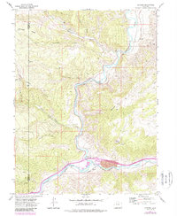
Loading map...1974 Map of Dotsero
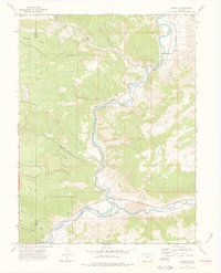
USGS Topo · Published 1988About this map
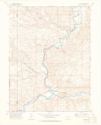
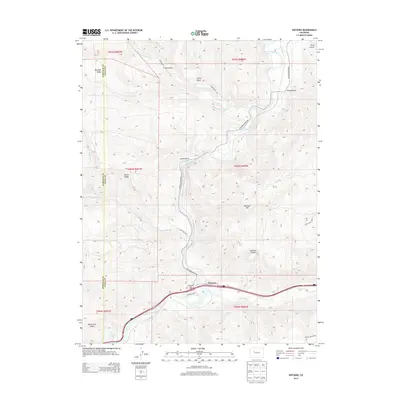
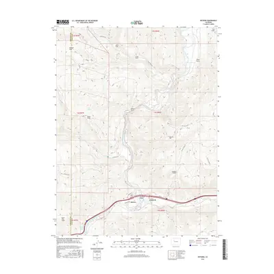
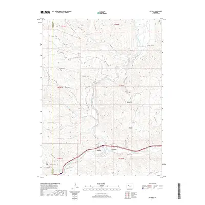
Colorado River and Eagle River waters meet in this high-altitude landscape, where the Denver and Rio Grande Western railroad tracks trace the narrow canyon floors. The settlement of Dotsero serves as a focal point for transportation and industry, situated near a collection of Mines and a local trailer park. The terrain is defined by dramatic geologic features, most notably the Dotsero Crater located south of Blowout Hill.
Find a feature on this map
27 named features on this map. Tap any name to fly to it.
Don’t see what you’re looking for? This feature index may not catch every label — zoom into the map to look around manually.
Map Details
Date Portrayed1974
Date Published1988
PublisherU.S. Geological Survey
Map TypeTopographic
Scale1:24,000
Physical Dimensions21.9 x 26.7 inches
Editions of this 1974 Dotsero Map
3 editions found
Historical Maps of Dotsero Through Time
6 maps found

Featured Locations
Source Details
SourceU.S. Geological Survey
CopyrightPublic Domain