Loading...
Loading map...1974 Map of Dotsero
USGS Topo · Published 1977About this map
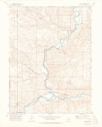
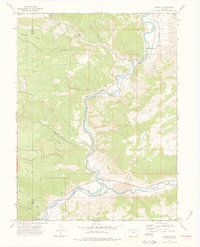
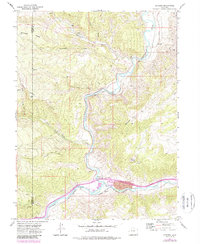
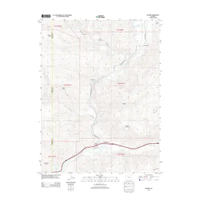
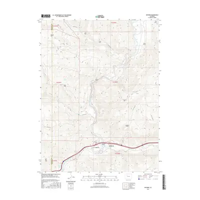
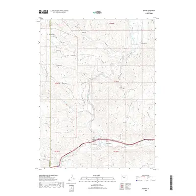
The Denver and Rio Grande Western railroad corridor follows the winding path of the Colorado River through this 1974 survey of Eagle and Garfield counties. At the heart of the map lies Dotsero, a vital junction where the rail lines diverge near the river’s bend. The landscape is defined by its volcanic and hydrological features, including the notable Dotsero Crater and an area marked Lava near the southern tracks.
Find a feature on this map
21 named features on this map. Tap any name to fly to it.
Don’t see what you’re looking for? This feature index may not catch every label — zoom into the map to look around manually.
Map Details
Date Portrayed1974
Date Published1977
PublisherU.S. Geological Survey
Map TypeTopographic
Scale1:24,000
Physical Dimensions21.9 x 27.1 inches
Editions of this 1974 Dotsero Map
3 editions found
Historical Maps of Dotsero Through Time
6 maps found

Featured Locations
Source Details
SourceU.S. Geological Survey
CopyrightPublic Domain