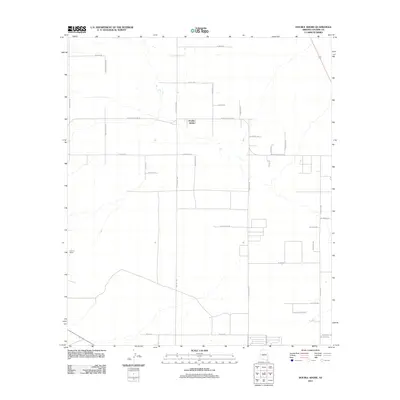
2011 Map of Double Adobe
USGS Topo · Published 2011About this map
Double Adobe serves as the focal point of this arid Cochise County landscape, where a sprawling grid of rural roads and homesteads reflects the agricultural and ranching heritage of the San Pedro Valley. The settlement is organized around the intersection of N Central Hwy and W Double Adobe Rd, with a network of family-named tracks like N Emma Ranch Rd and N McBride Rd extending into the surrounding plains.
Find a feature on this map
34 named features on this map. Tap any name to fly to it.
Don’t see what you’re looking for? This feature index may not catch every label — zoom into the map to look around manually.
Map Details
Editions of this 2011 Double Adobe Map
This is the sole edition of this map. No revisions or reprints were ever made.
Other maps of this area

1902 · Bisbee
USGS Topo · 1:62,500

1910 · Bisbee
USGS Topo · 1:62,500

1914 · Douglas
USGS Topo · 1:62,500

1916 · Pearce
USGS Topo · 1:125,000

1916 · Douglas
USGS Topo · 1:125,000

1919 · Douglas
USGS Topo · 1:125,000

1922 · Swisshelm
USGS Topo · 1:62,500

1925 · Douglas
USGS Topo · 1:62,500

1925 · Gleeson
USGS Topo · 1:62,500

1927 · Bisbee
USGS Topo · 1:62,500