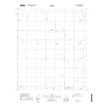
2018 Map of Double Adobe
USGS Topo · Published 2018About this map
Sulphur Springs Valley defines the geography of this area in Cochise County, characterized by a grid-like network of rural roads and scattered homesteads. The small settlement of Double Adobe sits near the intersection of W Double Adobe Rd and N Central Hwy, serving as a central point in an expansive agricultural and ranching landscape. To the south, the Cochise College Airport and nearby streets like W Cochise College Dr indicate the presence of educational infrastructure and more concentrated development. The map reveals a specific cultural layer through road names such as N Ancient Spirits Trl and N Hozoji Ln, reflecting local naming conventions and personal ranching histories like N Emma Ranch Rd and N Hogfarm Rd.
Find a feature on this map
49 named features on this map. Tap any name to fly to it.
Don’t see what you’re looking for? This feature index may not catch every label — zoom into the map to look around manually.
Map Details
Editions of this 2018 Double Adobe Map
This is the sole edition of this map. No revisions or reprints were ever made.
Other maps of this area

1902 · Bisbee
USGS Topo · 1:62,500

1910 · Bisbee
USGS Topo · 1:62,500

1914 · Douglas
USGS Topo · 1:62,500

1916 · Pearce
USGS Topo · 1:125,000

1916 · Douglas
USGS Topo · 1:125,000

1919 · Douglas
USGS Topo · 1:125,000

1922 · Swisshelm
USGS Topo · 1:62,500

1925 · Douglas
USGS Topo · 1:62,500

1925 · Gleeson
USGS Topo · 1:62,500

1927 · Bisbee
USGS Topo · 1:62,500