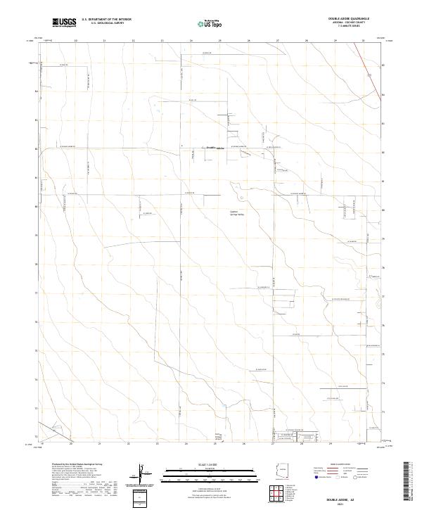
2021 Map of Double Adobe
USGS Topo · Published 2021About this map
Sulphur Springs Valley provides the broad geographic context for this modern study of the Arizona high desert southeast of Bisbee. The small settlement of Double-Adobe serves as a central landmark, situated at the intersection of a grid-like network of rural roads that define the region's agricultural and residential layout. The landscape is marked by several ranching and specialized operations, as suggested by labels like N Emma Ranch Rd and N Hogfarm Rd.
Find a feature on this map
47 named features on this map. Tap any name to fly to it.
Don’t see what you’re looking for? This feature index may not catch every label — zoom into the map to look around manually.
Map Details
Editions of this 2021 Double Adobe Map
This is the sole edition of this map. No revisions or reprints were ever made.
Other maps of this area

1902 · Bisbee
USGS Topo · 1:62,500

1910 · Bisbee
USGS Topo · 1:62,500

1914 · Douglas
USGS Topo · 1:62,500

1916 · Pearce
USGS Topo · 1:125,000

1916 · Douglas
USGS Topo · 1:125,000

1919 · Douglas
USGS Topo · 1:125,000

1922 · Swisshelm
USGS Topo · 1:62,500

1925 · Douglas
USGS Topo · 1:62,500

1925 · Gleeson
USGS Topo · 1:62,500

1927 · Bisbee
USGS Topo · 1:62,500