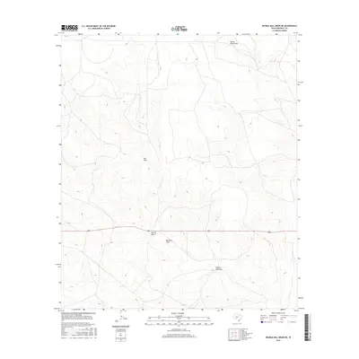
2016 Map of Double Mill Draw NE
USGS Topo · Published 2016About this map
Devils River Draw anchors the northern drainage of this arid landscape, part of a complex network of dry watercourses in the Trans-Pecos region. The terrain is defined by its watershed patterns, where Salt Draw and Puckett Draw intersect the central corridor. These features suggest a landscape managed for large-scale ranching, where seasonal runoff determines the utility of the land. 190 provides the primary east-west transit through this portion of Crockett County, crossing just south of Buckhorn Draw. Near the southern edge of the survey, the topography shifts toward Double Mill Draw, highlighting the sparse but vital landmarks used by local landholders to navigate this expansive section of West Texas.
Find a feature on this map
6 named features on this map. Tap any name to fly to it.
Don’t see what you’re looking for? This feature index may not catch every label — zoom into the map to look around manually.
Map Details
Editions of this 2016 Double Mill Draw NE Map
This is the sole edition of this map. No revisions or reprints were ever made.
Other maps of this area

1895 · Sherwood
USGS Topo · 1:125,000

1920 · Barnhart
USGS Topo · 1:62,500

1922 · Barnhart
USGS Topo · 1:62,500

1954 · Sonora
USGS Topo · 1:250,000

1954 · San Angelo
USGS Topo · 1:250,000

1958 · Sonora
USGS Topo · 1:250,000

1958 · San Angelo
USGS Topo · 1:250,000

1964 · Oglesby Ranch
USGS Topo · 1:24,000

1964 · Bailey Draw
USGS Topo · 1:24,000

1965 · San Angelo
USGS Topo · 1:250,000