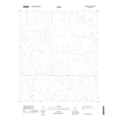
2019 Map of Double Mill Draw NE
USGS Topo · Published 2019About this map
Devils River Draw defines the eastern edge of this western Texas landscape, where a network of ephemeral watercourses has carved distinct paths through the high plains of Crockett County. In this arid environment, the convergence of Double Mill Draw and Buckhorn Draw suggests historical points of interest for those studying early cattle ranching or land use before more modern developments. The terrain is marked by significant drainage features like Puckett Draw and Salt Draw, which dictate the local topography and the placement of human infrastructure. As documented by the U.S. Geological Survey in the late 2010s, Highway 190 serves as the primary east-west artery, bisecting the various draws that characterize this portion of the Edwards Plateau.
Find a feature on this map
6 named features on this map. Tap any name to fly to it.
Don’t see what you’re looking for? This feature index may not catch every label — zoom into the map to look around manually.
Map Details
Editions of this 2019 Double Mill Draw NE Map
This is the sole edition of this map. No revisions or reprints were ever made.
Other maps of this area

1895 · Sherwood
USGS Topo · 1:125,000

1920 · Barnhart
USGS Topo · 1:62,500

1922 · Barnhart
USGS Topo · 1:62,500

1954 · Sonora
USGS Topo · 1:250,000

1954 · San Angelo
USGS Topo · 1:250,000

1958 · Sonora
USGS Topo · 1:250,000

1958 · San Angelo
USGS Topo · 1:250,000

1964 · Oglesby Ranch
USGS Topo · 1:24,000

1964 · Bailey Draw
USGS Topo · 1:24,000

1965 · San Angelo
USGS Topo · 1:250,000