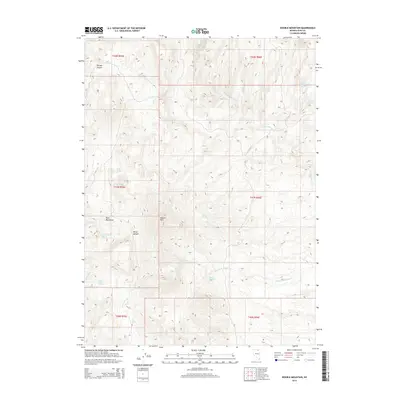
2014 Map of Double Mountain
USGS Topo · Published 2014About this map
Double Mtn dominates this Elko County landscape, serving as a high-altitude anchor for a network of ephemeral water sources and rugged canyons. The area is defined by its critical water points, where Double Mountain Spring, Skull Spring, and Cottonwood Spring provided essential resources for land management and ranching operations in this high desert environment. The drainage patterns are clearly delineated, showing Double Mountain Cr and Jakes Cr carving through the terrain near the Bone Mountains.
Find a feature on this map
22 named features on this map. Tap any name to fly to it.
Don’t see what you’re looking for? This feature index may not catch every label — zoom into the map to look around manually.
Map Details
Editions of this 2014 Double Mountain Map
This is the sole edition of this map. No revisions or reprints were ever made.
Other maps of this area

1935 · Charleston
USGS Topo · 1:48,000

1942 · Mt. Velma
USGS Topo · 1:62,500

1955 · Wells
USGS Topo · 1:250,000

1956 · Wild Horse
USGS Topo · 1:62,500

1958 · Wells
USGS Topo · 1:250,000

1961 · Wells
USGS Topo · 1:250,000

1971 · Double Mtn
USGS Topo · 1:24,000

1971 · Devils Armchair
USGS Topo · 1:24,000

1971 · North Fork
USGS Topo · 1:24,000

1971 · Double Mtn SE
USGS Topo · 1:24,000