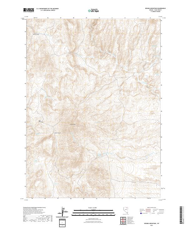
2021 Map of Double Mountain
USGS Topo · Published 2021About this map
Double Mtn and the Bone Mountains define this high-altitude landscape in northeastern Nevada, where water sources are the primary named landmarks. Numerous seasonal water points like Wagon Box Spring, McConnell Spring, and Cottonwood Spring are scattered across the terrain, indicating the importance of these sites for ranching and wildlife in a desert environment. The drainage network is anchored by Jakes Cr and the W Fork Beaver Cr, which carve through deep formations such as Dorsey Canyon and Water Canyon. The 2021 survey of this Elko County region shows a landscape defined by its topography and the essential life-sustaining springs, with very few man-made structures or developments present on the land.
Find a feature on this map
22 named features on this map. Tap any name to fly to it.
Don’t see what you’re looking for? This feature index may not catch every label — zoom into the map to look around manually.
Map Details
Editions of this 2021 Double Mountain Map
This is the sole edition of this map. No revisions or reprints were ever made.
Other maps of this area

1935 · Charleston
USGS Topo · 1:48,000

1942 · Mt. Velma
USGS Topo · 1:62,500

1955 · Wells
USGS Topo · 1:250,000

1956 · Wild Horse
USGS Topo · 1:62,500

1958 · Wells
USGS Topo · 1:250,000

1961 · Wells
USGS Topo · 1:250,000

1971 · Double Mtn
USGS Topo · 1:24,000

1971 · Devils Armchair
USGS Topo · 1:24,000

1971 · North Fork
USGS Topo · 1:24,000

1971 · Double Mtn SE
USGS Topo · 1:24,000