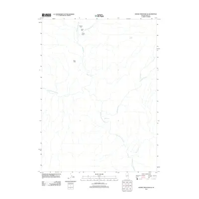
2012 Map of Double Mountain SE
USGS Topo · Published 2012About this map
H Moffat Company Ranch sits at the northern reaches of this Elko County landscape, where the West Fork Beaver Creek and East Fork Beaver Creek converge into Beaver Creek. This area of Nevada is defined by its wide drainage basins and ranching history, evidenced by named agricultural plots like Coupling Field and Bassit Field. The southern portion of the map is dominated by the winding course of the North Fork Humboldt River, which draws in several seasonal and perennial tributaries including Indian Creek and Cottonwood Creek. Topographic features such as Bone Valley and the presence of Warm Springs further indicate the high-desert character of the terrain. The map provides a clear look at the watershed network of the northern Great Basin, showing how water sources like Willow Spring have historically dictated the placement of remote livestock operations and grazing fields in this section of the state.
Find a feature on this map
13 named features on this map. Tap any name to fly to it.
Don’t see what you’re looking for? This feature index may not catch every label — zoom into the map to look around manually.
Map Details
Editions of this 2012 Double Mountain SE Map
This is the sole edition of this map. No revisions or reprints were ever made.
Other maps of this area

1955 · Wells
USGS Topo · 1:250,000

1958 · Wells
USGS Topo · 1:250,000

1961 · Wells
USGS Topo · 1:250,000

1967 · Hanks Creek SW
USGS Topo · 1:24,000

1967 · Stag Mountain
USGS Topo · 1:24,000

1967 · Peko Peak
USGS Topo · 1:24,000

1971 · Double Mtn
USGS Topo · 1:24,000

1971 · Devils Armchair
USGS Topo · 1:24,000
1971 · Coal Mine Basin
USGS Topo · 1:24,000

1971 · Double Mtn SE
USGS Topo · 1:24,000