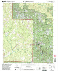
2000 Map of Double Springs
USGS Topo · Published 2003About this map
Double Springs serves as the focal point of this Winston County landscape, situated at the edge of the sprawling William B Bankhead National Forest. This late-twentieth-century revision, updated with imagery from 1999, shows the development of local infrastructure including the Filtration Plant and a network of rural roads connecting the county seat to outlying communities. The topography is defined by the deep incisions of the Right Fork Clear Creek and its many tributaries like Pigeonroost Branch, which carve through the plateau.
Find a feature on this map
28 named features on this map. Tap any name to fly to it.
Don’t see what you’re looking for? This feature index may not catch every label — zoom into the map to look around manually.
Map Details
Editions of this 2000 Double Springs Map
This is the sole edition of this map. No revisions or reprints were ever made.
Other maps of this area

1936 · Delmar
USGS Topo · 1:24,000

1936 · Kinlock Spring
USGS Topo · 1:24,000

1936 · Moulton
USGS Topo · 1:48,000

1940 · Mt Hope
USGS Topo · 1:62,500

1947 · Kinlock Spring
USGS Topo · 1:24,000
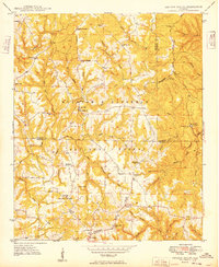
1949 · Kinlock Spring
USGS Topo · 1:24,000

1956 · Gadsden
USGS Topo · 1:250,000

1958 · Gadsden
USGS Topo · 1:250,000
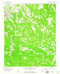
1958 · Haleyville East
USGS Topo · 1:24,000
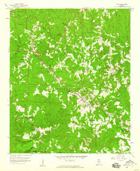
1958 · Lynn
USGS Topo · 1:24,000